
Rietberger Emsniederung, espace naturel protégé allemand
Location: North Rhine-Westphalia
GPS coordinates: 51.80480,8.43184
Latest update: March 14, 2025 04:24
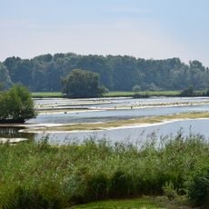
Steinhorster Becken
7.5 km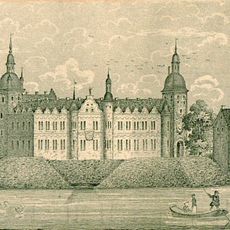
Schloss Rietberg
667 m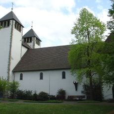
Varensell Abbey
6 km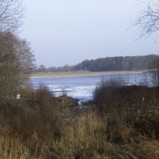
Emssee
3.1 km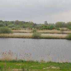
Rietberger Fischteiche
735 m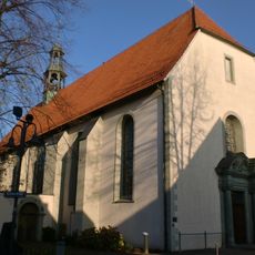
St. Katharina
450 m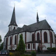
St. Joseph
6 km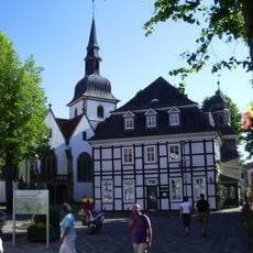
St. Johannes Baptist
426 m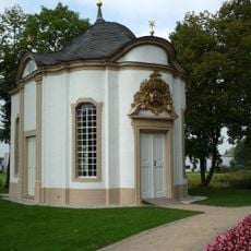
St. Johannes Nepomuk Kapelle
840 m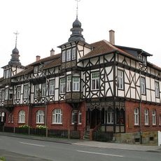
Künstlerhaus Wiedenbrück
8.6 km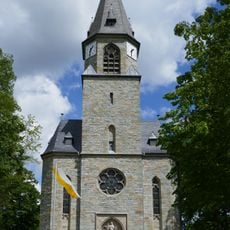
Herz Jesu
8.5 km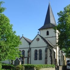
St. Margareta
3 km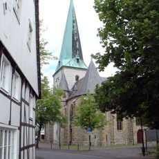
St. Lambertus und St. Laurentius
8.6 km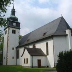
St. Jakobus
6 km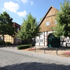
Kunsthaus Rietberg – Museum Wilfried Koch
494 m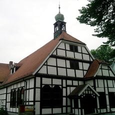
Evangelische Kirche Rietberg
590 m
Am Merschgraben
5.3 km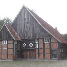
Spexarder Bauernhaus
8.7 km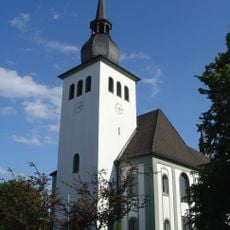
St. Laurentius
4.5 km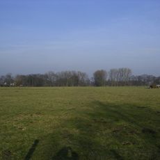
Schellenwiese
2.8 km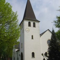
St. Anna
3.7 km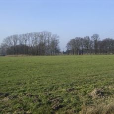
Im Binner
3.8 km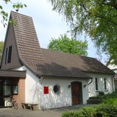
Gnadenkirche
5.7 km
Synagoge (Neuenkirchen)
3 km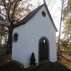
Seppeler-Kapelle
7.3 km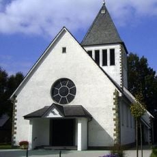
Herz-Jesu-Kirche
3.3 km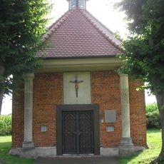
Antoniuskapelle
6.9 km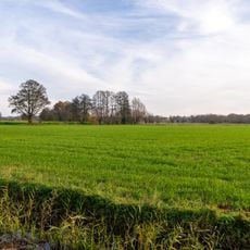
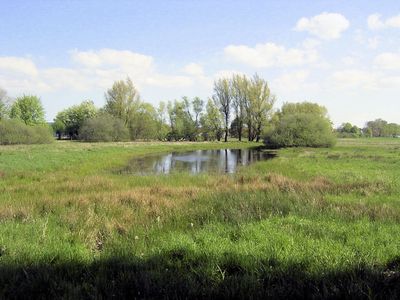
Rietberger Emsniederung
1.1 kmReviews
Visited this place? Tap the stars to rate it and share your experience / photos with the community! Try now! You can cancel it anytime.
Discover hidden gems everywhere you go!
From secret cafés to breathtaking viewpoints, skip the crowded tourist spots and find places that match your style. Our app makes it easy with voice search, smart filtering, route optimization, and insider tips from travelers worldwide. Download now for the complete mobile experience.

A unique approach to discovering new places❞
— Le Figaro
All the places worth exploring❞
— France Info
A tailor-made excursion in just a few clicks❞
— 20 Minutes