
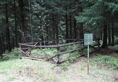
Wolfsgarten, Historical wolf-catching facility in Erzgebirge, Germany.
The Wolfsgarten consists of enclosed wooden fences and concealed pits situated between Crandorf and Breitenbrunn in the Erzgebirge mountain range.
In 1658, the Crandorf community requested exemption from wolf hunting duties, as mining activities had to halt during hunting periods.
Winter wolf hunting involved tracking footprints in snow and using sheep as bait, reflecting traditional hunting methods in the Erzgebirge region.
The facility incorporated rectangular enclosures with strategic openings that directed wolves toward capture areas where hunters could effectively target them.
The last wolf in Erzgebirge was shot in 1816, marking the end of systematic wolf hunting at the Wolfsgarten facility.
GPS coordinates: 50.49648,12.76593
Latest update: March 4, 2025 12:05
Weiße Frau Schwarzenberg
2.7 km
Jagdhaus Breitenbrunn
2.3 km
Roter Berg
2 km
Silberwäsche
1.2 km
Kirche Rittersgrün
2.7 km
Ochsenkopf bei Rittersgrün
3.8 km
Arbeiterheim Bermsgrün
2.5 km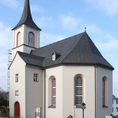
Kirche Crandorf
2.2 km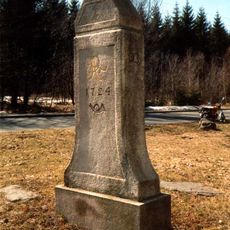
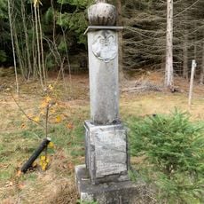
Polish-Saxon Post Milestone Breitenbrunn
749 m
Wettertannenwiese
2.7 km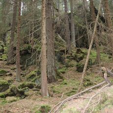
Schieferbach
2.6 km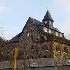
Methodistenkirche Waldstraße 3
730 m
Sächsisches Schmalspurbahn-Museum Rittersgrün e.V.
3 km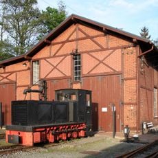
Bahnhof Oberrittersgrün
3.6 km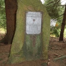
Gedenkstein für Franz Dziebko
450 m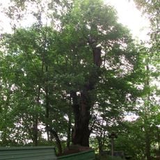
Linde am Eduardstein
3 km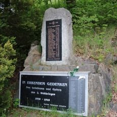
Denkmal 1. Weltkrieg Antonsthal
817 m
Wohnhaus, Seitengebäude und Scheune eines Gutes sowie Hausbaum und Obstgarten (Gartendenkmale) mit Einfriedung Arnoldshammer 5
1.7 km
Staahaadler Aff
3.6 km
Sachgesamtheit Hammerherrenhof Erla mit folgenden Einzeldenkmalen: Hammerherrenhaus (Nr. 87), drei Seitengebäude (Nr. 85) (siehe Einzeldenkmalliste - Obj. 09269052, gleiche Anschrift) und Gutspark (Gartendenkmal) sowie südwestlicher Verbinderbau, W
3 km
Einzeldenkmale der Sachgesamtheit Pfeilhammer: ehemaliges Hammerherrenhaus mit südlichem Anbau sowie Einfriedungsmauer (siehe auch Sachgesamtheitsliste - Obj. 09306095) Am Pfeilhammer 5
3.7 km
Schwarzwassertal und Burkhardtswald
2.1 km
Zwei aneinander gebaute Wohnhäuser Kirchstraße 10; 11
3.5 km
Fabrikgebäude einer Holzwarenfabrik, mit Fabrikschornstein Globenstein 5
1.4 km
Ehemaliges Erzpochwerk und Erzwäsche, heute Museum und Gaststätte Jägerhäuser Straße 17
1.2 km
Ehemaliges Herrenhaus einer Schmelzhütte, später Teil einer Papierfabrik Jägerhäuser Straße 1
901 m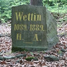
Wettinstein Antonsthal
2.6 km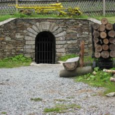
Mundloch des Besucherbergwerk St. Christoph Schachtstraße 63 (bei)
2 kmReviews
Visited this place? Tap the stars to rate it and share your experience / photos with the community! Try now! You can cancel it anytime.
Discover hidden gems everywhere you go!
From secret cafés to breathtaking viewpoints, skip the crowded tourist spots and find places that match your style. Our app makes it easy with voice search, smart filtering, route optimization, and insider tips from travelers worldwide. Download now for the complete mobile experience.

A unique approach to discovering new places❞
— Le Figaro
All the places worth exploring❞
— France Info
A tailor-made excursion in just a few clicks❞
— 20 Minutes