
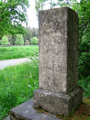
Roman road memorial, Gedenkstein an die Römerstraße Via Julia im Forstenrieder Park
Location: Forstenrieder Park
Inception: 19 century
GPS coordinates: 48.04930,11.45066
Latest update: April 4, 2025 13:21
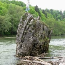
Georgenstein
4.5 km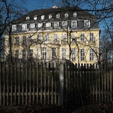
Villa Bellemaison
4.4 km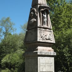
Preysingsäule
2.8 km
Keltenschanze
3.3 km
St. Nikolaus
4.7 km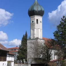
Patrona Bavariae
4.3 km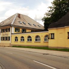
Gasthof zur Post
4.3 km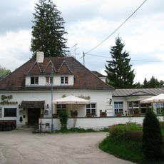
Forsthaus Hubertus
4.1 km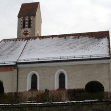
St. Michael (Buchendorf)
3.7 km
Mindelheimer Straße 3
4.6 km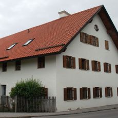
Ehemaliges Bauernhaus und Tafernwirtschaft, sogenannt Beim Wirtsbauer
4.7 km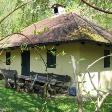
Wyttenbach Lodge
1.7 km
LSG Forstenrieder Park einschließlich Forst Kasten und Fürstenrieder Wald
487 m
Kath. Pfarrkirche Wiederkunft des Herrn
4.6 km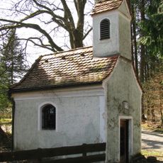
Kapelle St. Maria
4.6 km
Gebiet um das Kloster Warnberg mit anschließenden Waldstücken in Richtung Forstenried und Solln
4.7 km
LSG Ortsrand Neuried
4.1 km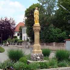
Mariensäule (Buchendorf)
3.7 km
Cultural heritage D-1-7935-0305 in München
4.7 km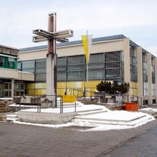
Kreuz Allgäuer Straße 38; Allgäuer Straße 40; Königswieser Straße 10; Königswieser Straße 12; Königswieser Straße 14 in München
4.6 km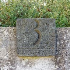
Einfriedung Mindelheimer Straße 3 in München
4.6 km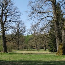
Eichelgarten im Forstenrieder Park
1 km
Schießstätte Unterdill
4 km
Forstenrieder Allee 226
4.7 km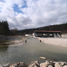
Isarstauwehr
4.6 km
Heimatstuben des Trachtenvereins Georgenstoana
4.3 km
Forstenrieder Allee 230
4.6 km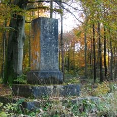
Gedenkstein, in Obeliskform
4 kmVisited this place? Tap the stars to rate it and share your experience / photos with the community! Try now! You can cancel it anytime.
Discover hidden gems everywhere you go!
From secret cafés to breathtaking viewpoints, skip the crowded tourist spots and find places that match your style. Our app makes it easy with voice search, smart filtering, route optimization, and insider tips from travelers worldwide. Download now for the complete mobile experience.

A unique approach to discovering new places❞
— Le Figaro
All the places worth exploring❞
— France Info
A tailor-made excursion in just a few clicks❞
— 20 Minutes