
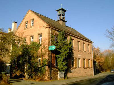
Ehemaliges Schulhaus, building in Nuremberg, Middle Franconia, Germany
Location: Nuremberg
Address: Röthenbacher Hauptstraße 74 / 76
GPS coordinates: 49.41557,11.03182
Latest update: March 4, 2025 12:27
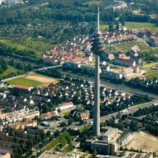
Fernmeldeturm Nürnberg
1.3 km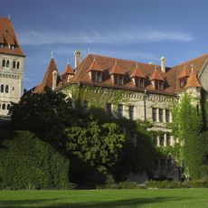
Faber-Castell-Schloss
795 m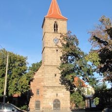
Eibach
1.3 km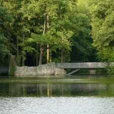
Faber Park
474 m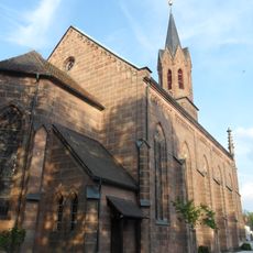
Martin-Luther-Kirche
1.2 km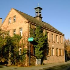
Röthenbach Ost
335 m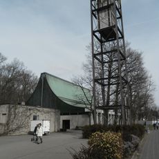
Maria am Hauch
792 m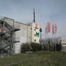
Röthenbach West
1.1 km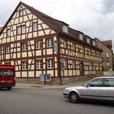
Heimatmuseum Stein (Mittelfranken)
1 km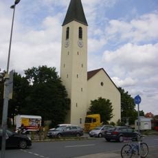
Pfarrkirche St. Walburga
859 m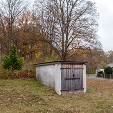
Luftschutzanlage
1.4 km
Ehemalige Kirche der evangelisch-reformierten Gemeinde Nürnberg
1 km
Bleistiftfabrik A. W. Faber-Castell
902 m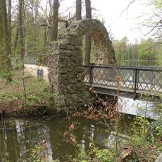
Brücke Nähe Rednitzstraße in Nürnberg
501 m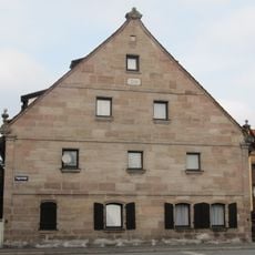
Ehemaliges Bauernhaus
194 m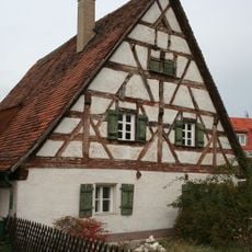
Zeitenwendeplatz 13
1.4 km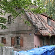
Heidestraße 27 (Nuremberg)
1.4 km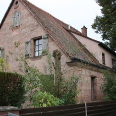
Forstweiherstraße 14
1.3 km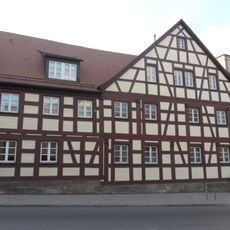
Mühlstrasse 1
1 km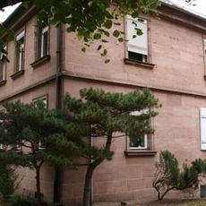
Eibacher Hauptstraße 55
1.4 km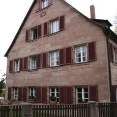
Motterstraße 39 (Nuremberg)
1.4 km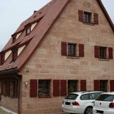
Zeitenwendeplatz 17-17a
1.4 km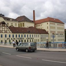
Alte Bleimühle, Industriebau der Firma A. W. Faber-Castell
1 km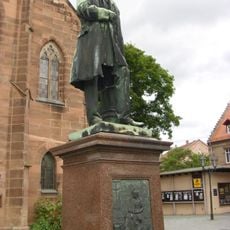
Denkmal
1.2 km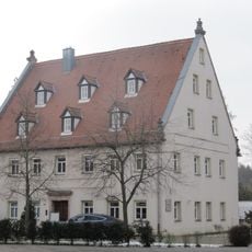
Ehemaliges Gasthaus
226 m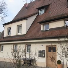
Ehemaliges Wohnstallhaus
227 m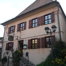
Ehemaliges Spital
1 km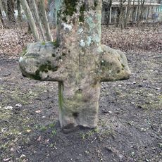
Steinkreuz Nikodemuskirche
100 mReviews
Visited this place? Tap the stars to rate it and share your experience / photos with the community! Try now! You can cancel it anytime.
Discover hidden gems everywhere you go!
From secret cafés to breathtaking viewpoints, skip the crowded tourist spots and find places that match your style. Our app makes it easy with voice search, smart filtering, route optimization, and insider tips from travelers worldwide. Download now for the complete mobile experience.

A unique approach to discovering new places❞
— Le Figaro
All the places worth exploring❞
— France Info
A tailor-made excursion in just a few clicks❞
— 20 Minutes