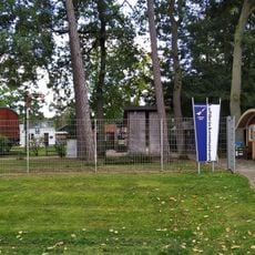
Faßberg, municipality of Germany
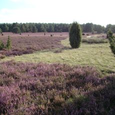
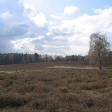
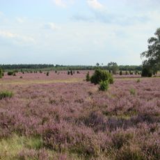
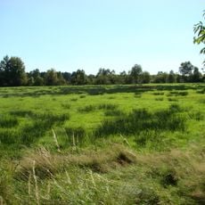
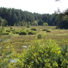
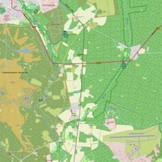
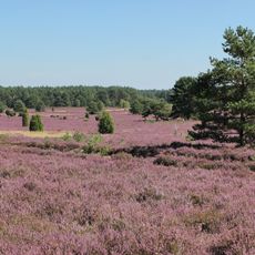
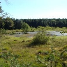
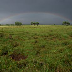
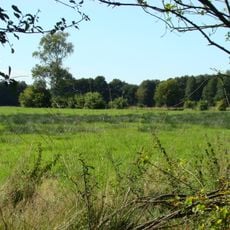
Faßberg is a municipality in the north of Celle district, formed in 1977 from four villages: Faßberg, Müden, Poitzen, and Schmarbeck. The area sits in the South Heath landscape with open heathland, forests, and the Örtze river, while a major airbase shapes its modern character.
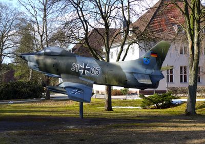
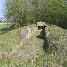
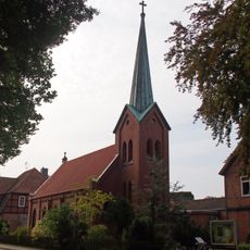
The municipality was officially formed in 1977, but its four villages have much older roots, especially Müden with nearly a thousand years of history. A major airbase developed in the 1930s and later played a key role in the Berlin airlift of 1948-1949.
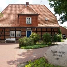
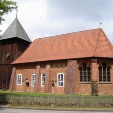
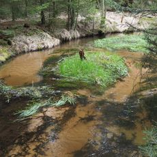
Müden on the Örtze river, one of the four villages, has preserved rural traditions for nearly a thousand years and attracts artists and travelers seeking quiet. The Heidschnucken sheep breed, raised by local herders, remains part of the landscape and represents a local farming heritage.
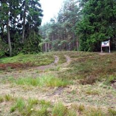
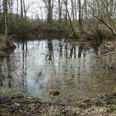
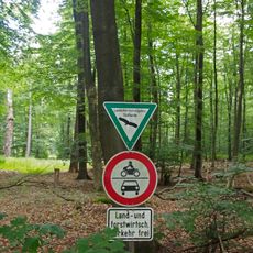
The area can be explored well on foot or by bike, with excellent hiking trails like the Heidschnuckenweg and several heathland loops through open country. Swimming, boat trips on the Örtze river, and overnight stays in hotels or holiday apartments are available, and local cafes and farm shops offer regional products.
A stone marker in Schmarbeck commemorates scientist Karl-Friedrich Gauß, who took measurements there in 1828 to map the heathland's form. Later, space pioneer Eugen Sänger worked in the area on early rocket projects, making Faßberg a center for aerospace development.
The community of curious travelers
AroundUs brings together thousands of curated places, local tips, and hidden gems, enriched daily by 60,000 contributors worldwide.