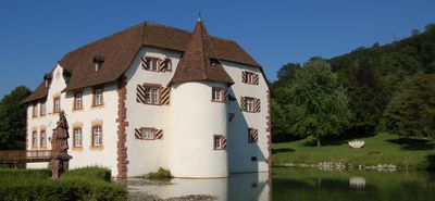
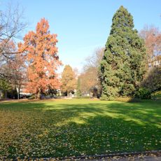
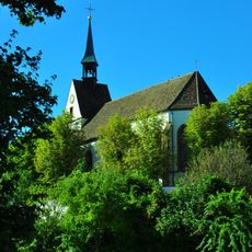
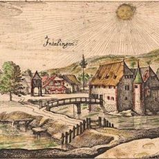
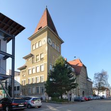
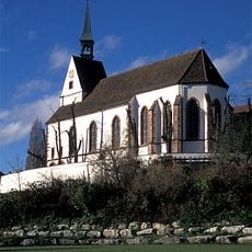
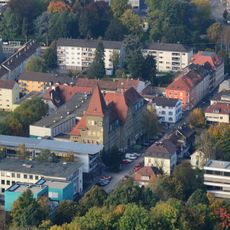
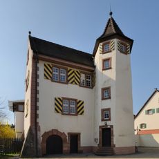
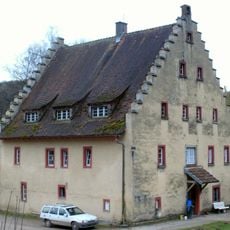
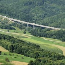
Inzlingen, municipality in Germany
Location: Lörrach
Location: Lörrach VVG
Elevation above the sea: 372 m
Shares border with: Grenzach-Wyhlen, Rheinfelden
Website: https://inzlingen.de
GPS coordinates: 47.58806,7.69361
Latest update: March 7, 2025 18:44
Rosenfelspark
2.9 km
Eiserne Hand
1.2 km
Swisscom-Sendeturm St. Chrischona
1.9 km
St. Chrischona
1.9 km
Inzlingen Castle
294 m
Hans-Thoma-Gymnasium
3.2 km
Saint Fridolin
2.6 km
Reformed Chrischona church
2 km
Lörrach-Stetten station
3 km
Dultenaugrabenbrücke
2.8 km
Campus Rosenfels
3.1 km
Stettener Schlösschen
2.7 km
Hotel-Bijou-Hochhaus
3 km
Hagenbacher Hof
2.5 km
Heilige Familie (Lörrach)
3.2 km
Ruschbachtal
3 km
Johanneskirche
2.9 km
Catholic church Inzlingen
103 m
Rührberg Rührberger Hof
2.3 km
Buttenberghalde
319 m
Holzmatttalbrücke
1.7 km
Protestant church Inzlingen
201 m
Le Grandsche country estate with Sarasinpark
3 km
Residential house Schaeffer-von Déchend
3 km
Residential building
3.1 km
Residence and Studio Willi Wenk
2.9 km
Residence Gsell
2.9 km
Headquarters and mother house of the deaconesses
2.9 kmReviews
Visited this place? Tap the stars to rate it and share your experience / photos with the community! Try now! You can cancel it anytime.
Discover hidden gems everywhere you go!
From secret cafés to breathtaking viewpoints, skip the crowded tourist spots and find places that match your style. Our app makes it easy with voice search, smart filtering, route optimization, and insider tips from travelers worldwide. Download now for the complete mobile experience.
A unique approach to discovering new places❞
— Le Figaro
All the places worth exploring❞
— France Info
A tailor-made excursion in just a few clicks❞
— 20 Minutes