Affalterbach, Administrative municipality in Ludwigsburg District, Germany
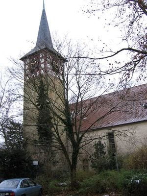
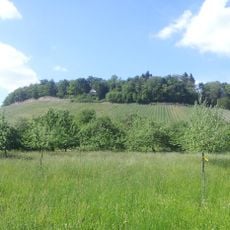
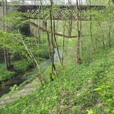
Affalterbach is a municipality in Ludwigsburg District, Baden-Württemberg, situated on elevated terrain at 312 meters above sea level and containing sections of the Buchenbach valley nature reserve. The landscape features forests and valleys, with the settled areas integrated into this natural setting.
The municipality became part of Württemberg in 1322 and experienced periods of abandonment due to its location on the Heilbronn-Ulm trade route, which made it vulnerable during times of conflict. This position on a major passage shaped its early development.
The municipal coat of arms features a silver apple tree with red fruits, reflecting the name's origin from old Germanic words meaning apple. This connection to local nature remains part of how the community sees itself today.
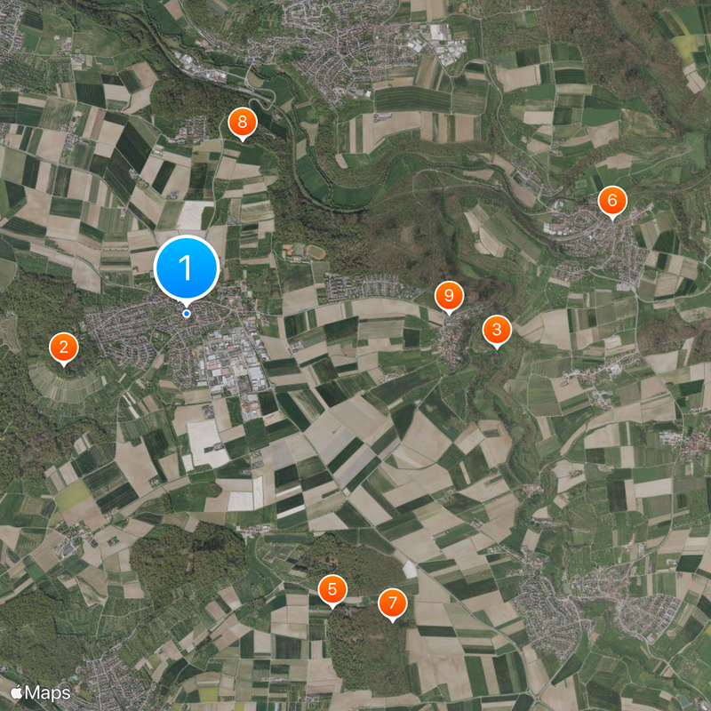
The municipality is connected to neighboring areas via local and district roads, while regional bus services provide access to Stuttgart and surrounding regions. Having a car is practical for exploring the wider area, as not everything is easily walkable from the center.
The tuning company AMG, which later became known as Mercedes-Benz's engine specialist, established its headquarters in Affalterbach in 1976 and incorporated the local apple tree symbol into its original company logo. This connection brought international recognition to the small municipality in the automotive industry.
The community of curious travelers
AroundUs brings together thousands of curated places, local tips, and hidden gems, enriched daily by 60,000 contributors worldwide.