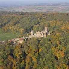
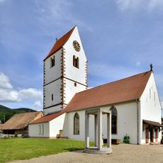
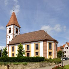
Kandern, municipality in Germany
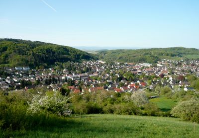
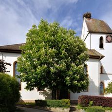
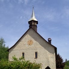
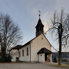
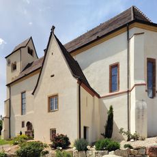
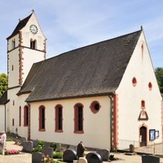
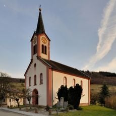
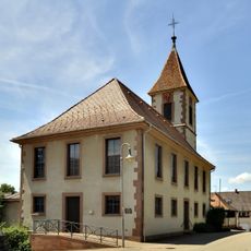
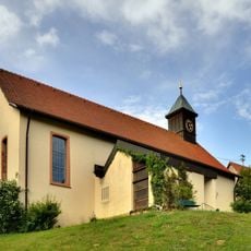
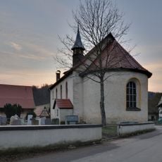
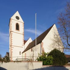
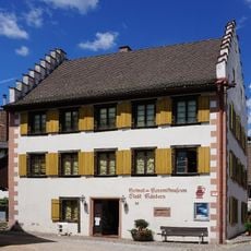
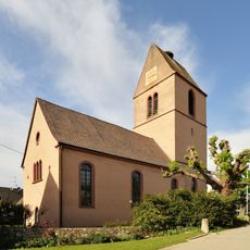
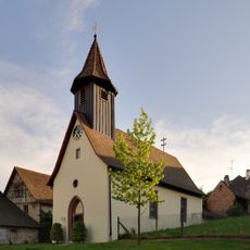
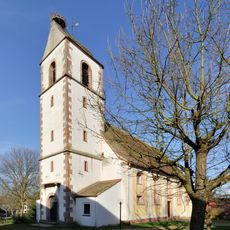
Kandern is a municipality in the Black Forest region of southwestern Germany, situated in a valley close to the Swiss border. The town has a compact village center with traditional buildings and is surrounded by forests and fields that shape its landscape.
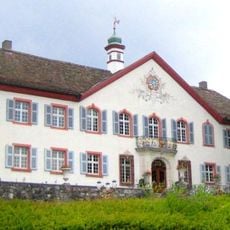
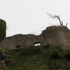
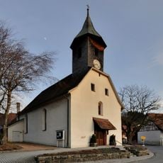
Kandern has medieval roots as a rural settlement in the Black Forest region. Over time, it developed into a municipality shaped by local farming and forestry traditions that remain part of its character.
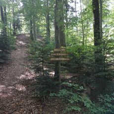
The town is accessible by car or public transport and has a quiet character that suits relaxation and nature walks. Its proximity to Switzerland makes it a good base for day trips into the cross-border region.
The town sits on the border between Germany and Switzerland, allowing visitors to explore both countries in a single day. This location has made it a gateway for cultural and economic connections between the two regions.
The community of curious travelers
AroundUs brings together thousands of curated places, local tips, and hidden gems, enriched daily by 60,000 contributors worldwide.