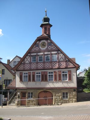
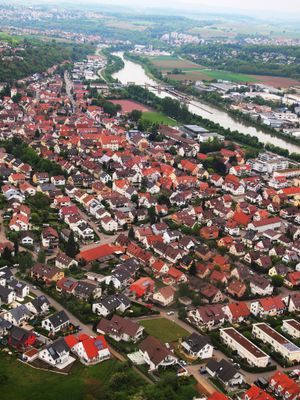
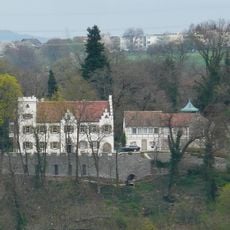
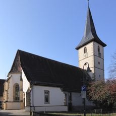
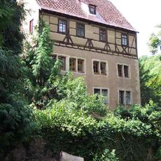
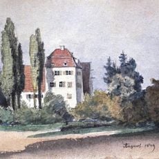
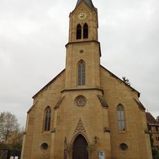
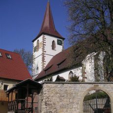
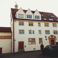
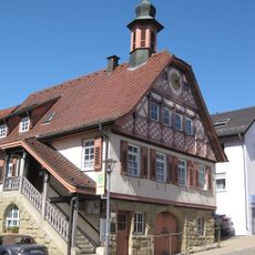
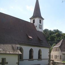
Remseck am Neckar, Municipality center in Ludwigsburg District, Germany
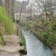
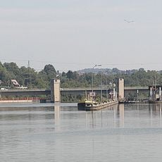
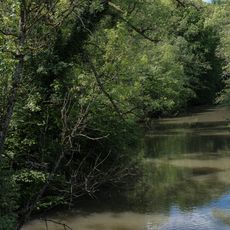
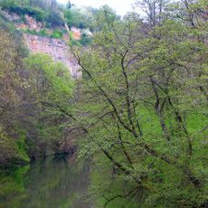
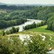
Remseck am Neckar is a town in Baden-Württemberg situated where the Rems and Neckar rivers meet, with six separate neighborhoods forming its structure. The waterways shape how the town develops and how different areas connect to each other.
The town formed in 1975 through the merger of five older communities and received its current name in 1977. This joining created a new administrative unit in the region south of Stuttgart.
The town hosts regular festivals and markets throughout the year that draw people from its different neighborhoods together. These gatherings shape how residents experience their community and create meeting places in the local districts.
The town is served by Stuttgart's streetcar system and several bus lines connecting its neighborhoods and regional destinations. Visitors will find reliable transport links to surrounding areas in Baden-Württemberg.
The town maintains partnerships with cities in France, Italy, and Romania, leading to regular cultural exchanges through visitor programs. These international connections bring communities together on a broader scale.
Location: Ludwigsburg District
Elevation above the sea: 212 m
Phone: +4971462890
Website: https://stadt-remseck.de
GPS coordinates: 48.87271,9.27359
Latest update: December 13, 2025 22:20
Schloss Remseck
243 m
Laurentiuskirche
5.5 km
Schloss Hochberg
1.8 km
Holderburg Oßweil
4.1 km
Remstal-Viadukt
3.7 km
Schloss Oßweil
3.8 km
Schlosskirche Hochberg
1.8 km
Margaretenkirche
1.7 km
Hegnacher Mühle
3.1 km
Schloss Hochdorf
3.2 km
Schloss Aldingen
1.9 km
Aldingen barrage
1.2 km
Unteres Remstal
2.9 km
Gemeindehalle Bittenfeld
3.7 km
Unteres Remstal
1.8 km
St. Petrus Canisius
2.1 km
Synagoge
1.7 km
Mühle
1.9 km
St. Januarius
4 km
Kelter
1.8 km
Jüdischer Friedhof
1.2 km
Unteres Remstal mit Randgebieten
1 km
Burg Großstadelhofen
1.6 km
Altes Rathaus (Neckarrems)
352 m
Michael-Sebastianskirche (Neckarrems)
487 m
Zugwiesen Observation Tower
4.1 km
Neckartal zwischen den Neckarbrücken von Hochberg und Neckarweihingen mit Randgebieten, insbesondere Uhlberg, Lochholz und Beuzlen
3.8 km
Oeffinger Rain und Weidachtal
2.9 kmVisited this place? Tap the stars to rate it and share your experience / photos with the community! Try now! You can cancel it anytime.
Discover hidden gems everywhere you go!
From secret cafés to breathtaking viewpoints, skip the crowded tourist spots and find places that match your style. Our app makes it easy with voice search, smart filtering, route optimization, and insider tips from travelers worldwide. Download now for the complete mobile experience.
A unique approach to discovering new places❞
— Le Figaro
All the places worth exploring❞
— France Info
A tailor-made excursion in just a few clicks❞
— 20 Minutes