
Patersdorf, municipality of Germany
Location: Regen
Elevation above the sea: 503 m
Shares border with: Teisnach, Ruhmannsfelden, Kollnburg
Website: http://patersdorf.de
GPS coordinates: 49.01667,12.98333
Latest update: March 3, 2025 05:04
Burg Altnußberg
5 km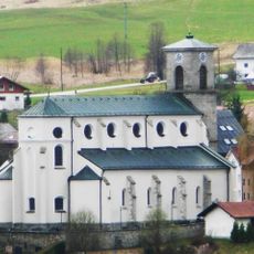
Kloster Gotteszell
6 km
Oedwies
8.7 km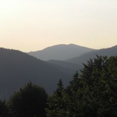
Vogelsang
9.6 km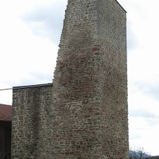
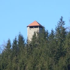
Burg Linden
1.2 km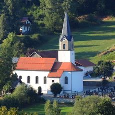
St. Jakobus (Achslach)
6 km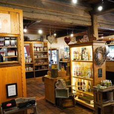
Schnapsmuseum "Glass distillery"
5.2 km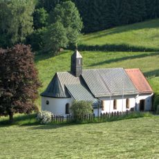
Osterbrünnl-Kapelle
4.5 km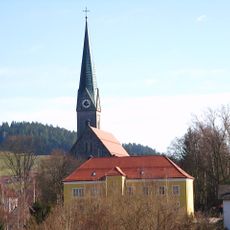
St. Margareta
2.6 km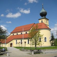
Sankt Laurentius in Ruhmannsfelden
3.8 km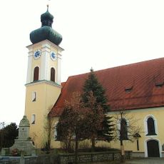
St. Petrus und Paulus (March)
7.7 km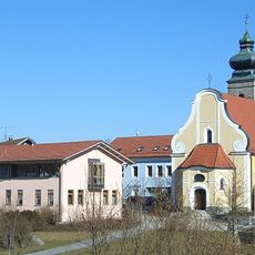
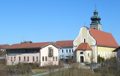
Katholische Pfarrkirche St. Martin
375 m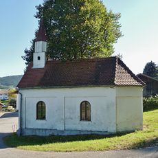
Ortskapelle
5.6 km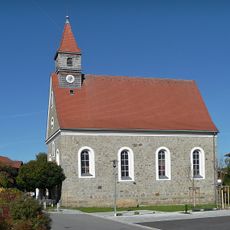
Mater Dolorosa
5.3 km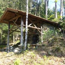
Lourdesgrotte
5.8 km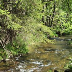
Ruhmannsfeldener Leite
4.2 km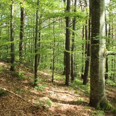
Kalvarienberg
6 km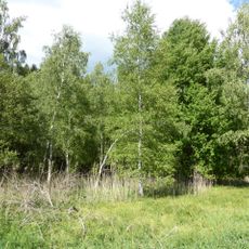
Birkenbruchwald Oed
5.5 km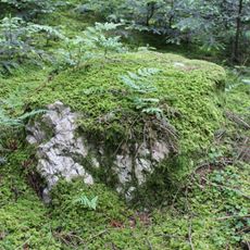
Hof-Pfahl
5.6 km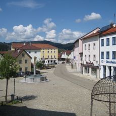
Marktbrunnen
3.7 km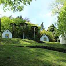
Kalvarienberg Gotteszell
6.1 km
Osterbrünnl-Kapelle
4.5 km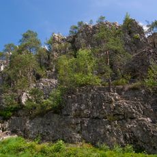
Pfahl
2.5 km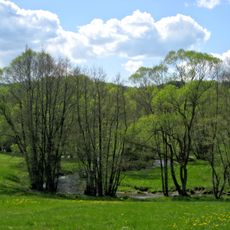
Teisnach zwischen Gotteszell und Ruhmannsfelden
6 km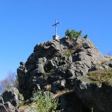
Deggendorfer Vorwald
9.3 km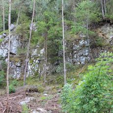
Hofpfahl NE von Fellerhof
5.6 km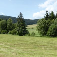
Wolfertsrieder Bach
6.7 km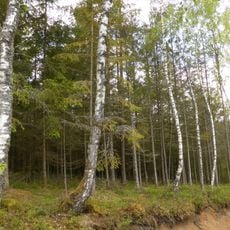
Birkenbruchwald Oed und Erlenwälder bei Arnbruck und Hötzelsried
4.6 kmReviews
Visited this place? Tap the stars to rate it and share your experience / photos with the community! Try now! You can cancel it anytime.
Discover hidden gems everywhere you go!
From secret cafés to breathtaking viewpoints, skip the crowded tourist spots and find places that match your style. Our app makes it easy with voice search, smart filtering, route optimization, and insider tips from travelers worldwide. Download now for the complete mobile experience.

A unique approach to discovering new places❞
— Le Figaro
All the places worth exploring❞
— France Info
A tailor-made excursion in just a few clicks❞
— 20 Minutes