Wolfratshausen, Urban municipality in Bavaria, Germany
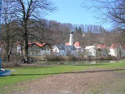
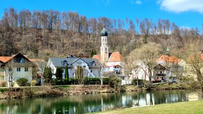
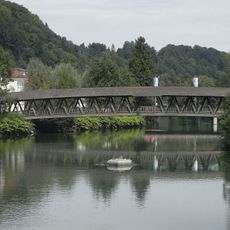
Wolfratshausen is a town in the Bad Tölz-Wolfratshausen district of Bavaria, sitting where the Isar and Loisach rivers meet and surrounded by nature reserves. The town center lies 576 meters (1,890 feet) above sea level and provides access to the Via Bavarica Tyrolensis cycling network that runs through the foothills of the Alps.
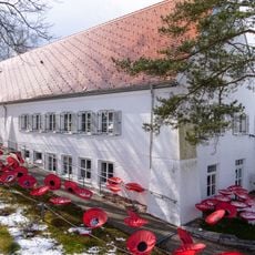
The settlement was first mentioned in written records in 1003 as Wolveradeshusun and received market town rights in 1280 from local nobility. After lightning destroyed the castle in 1734, workers carried its stones to Munich where they were used in construction projects at the Residenz palace.
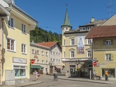
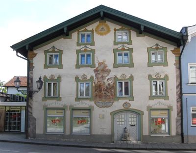
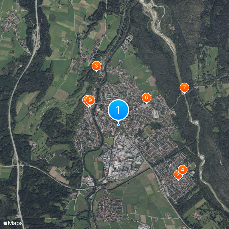
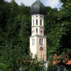
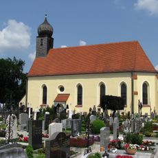
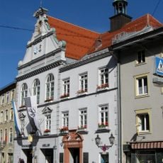
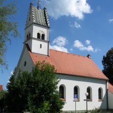
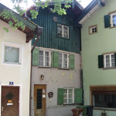
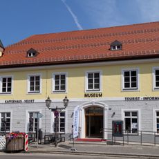
The town takes its name from the personal name Wolfrat combined with the old word for houses. Local residents still attend services at the Parish Church of St. Andreas, built in 1484, and the Museum of Local History displays everyday objects from past centuries that show how families once lived here.
Regular train services run from here to Munich and connect travelers directly to the Bavarian capital. The Via Bavarica Tyrolensis cycling route passes through town and allows cyclists to explore the Alpine foothills on well-maintained paths.
After lightning destroyed the castle in 1734, its stones served as building material for the Munich Residenz palace. Workers dismantled the remains of the structure systematically and reused them in the capital over several decades.
The community of curious travelers
AroundUs brings together thousands of curated places, local tips, and hidden gems, enriched daily by 60,000 contributors worldwide.