
Borkwalde, municipality of Germany
Location: Amt Brück
Location: Potsdam-Mittelmark District
Elevation above the sea: 62 m
Shares border with: Beelitz, Borkheide
Website: https://borkwalde.de
GPS coordinates: 52.25000,12.83306
Latest update: April 24, 2025 06:32
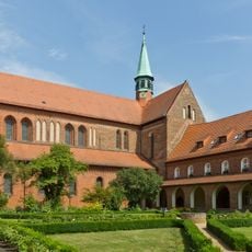
Lehnin Abbey
9.9 km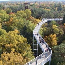
Baumkronenpfad Beelitz-Heilstätten
6 km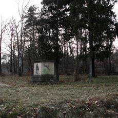
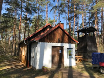
Anstaltskirche
6.3 km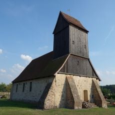
Church in Kanin (Beelitz)
4.3 km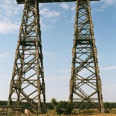
Brück aerial testing facility
6.9 km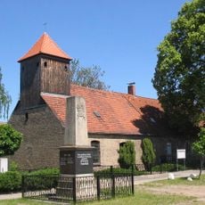
Kirchen- und Schulhaus Freienthal
8.1 km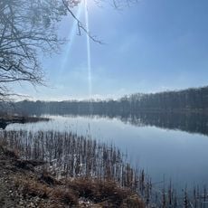
Gohlitzsee
8.6 km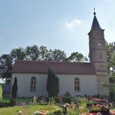
Village church Bliesendorf
10 km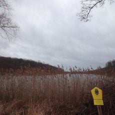
Lehniner Mittelheide und Quellgebiet der Emster
8 km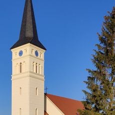
Village church Schäpe
6.4 km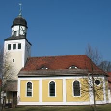
Dorfkirche Alt Bork
7.2 km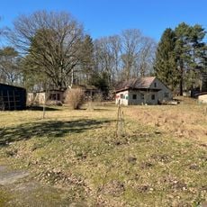
Gohlitzhof
7.9 km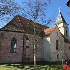
St. Lambertus
7.2 km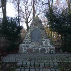
War memorial Kammerode
9.4 km
Kemnitzer Heide
8.7 km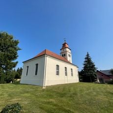
Dorfkirche Rädel
6.9 km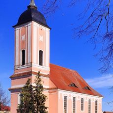
Dorfkirche (Reesdorf)
6.9 km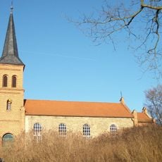
Dorfkirche
7.1 km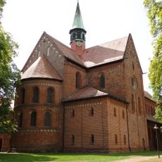
Monastery Church Lehnin
9.9 km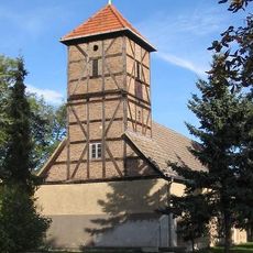
Neuendorf church
5.7 km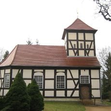
Ferch church
9.4 km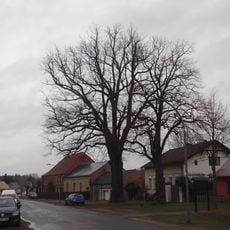
2 Stiel-Eichen
7 km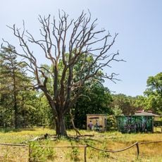
Naturdenkmal Eiche Klaistow, Grundstück zw. Landstraße und Weg nach Borkwalde, wenig westlich Abzweig nach Lehnin in Busendorf
4.4 km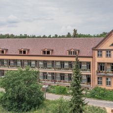
Beelitz-Heilstätten Hospital
5.9 km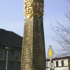
Polish-Saxon Post Milestone in Brück
7.6 km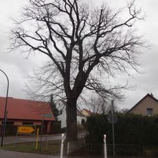
2 Stieleichen
9.6 km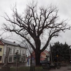
Stieleiche
9.8 km
Stieleiche
9.7 kmReviews
Visited this place? Tap the stars to rate it and share your experience / photos with the community! Try now! You can cancel it anytime.
Discover hidden gems everywhere you go!
From secret cafés to breathtaking viewpoints, skip the crowded tourist spots and find places that match your style. Our app makes it easy with voice search, smart filtering, route optimization, and insider tips from travelers worldwide. Download now for the complete mobile experience.

A unique approach to discovering new places❞
— Le Figaro
All the places worth exploring❞
— France Info
A tailor-made excursion in just a few clicks❞
— 20 Minutes