Fladungen, urban municipality of Germany in Bavaria
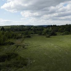
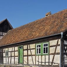
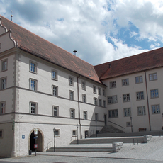
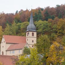
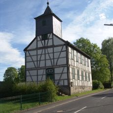
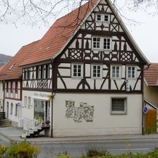
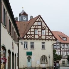
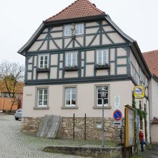
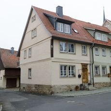
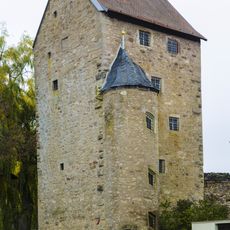
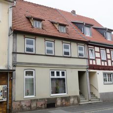
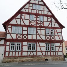
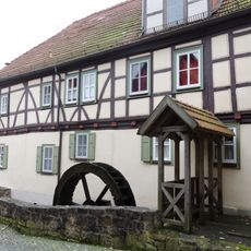
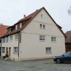
Fladungen is a town in Bavaria located in the Rhön region within a biosphere reserve. The townscape is defined by timber-framed houses dating from the 17th and 18th centuries, surrounded by a restored medieval wall with five defense towers from the 14th century.
The town was first documented in 789 and received city rights from Emperor Ludwig IV in the Middle Ages. It later became part of the Prince-Bishopric of Würzburg and served as an important market center for agriculture and sheep herding in the region.
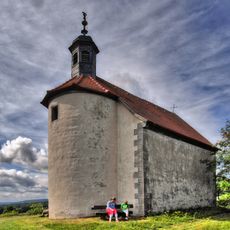
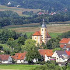
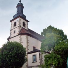
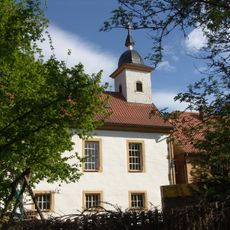
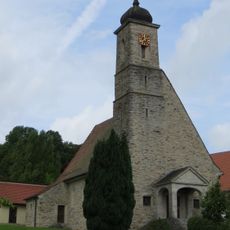
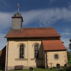
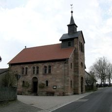
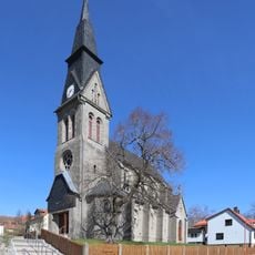
The town's coat of arms features a bishop holding a sword and a crozier, representing its historical connection to religious authority. This symbol continues to shape how residents understand their community and its Catholic traditions, which remain visible in the local churches and chapels.
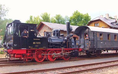
Visitors will find various accommodations, restaurants, and museums throughout the town, along with hiking trails and cycling routes in the surrounding nature. A campground and wellness facilities are available to support a comfortable stay.
During the Cold War, a border with East Germany ran along the town, and part of the fence remains visible as a preserved memorial today. This historical reminder is now integrated into a green biotope corridor that connects visitors to this divided past.
The community of curious travelers
AroundUs brings together thousands of curated places, local tips, and hidden gems, enriched daily by 60,000 contributors worldwide.