
LSG Seidlersreuther Weiher, protected landscape in Bavaria, Germany
Location: Tirschenreuth
Inception: 1963
GPS coordinates: 49.87578,12.20351
Latest update: August 5, 2025 01:46
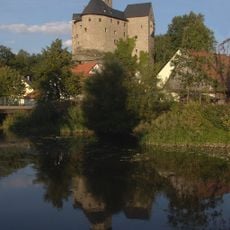
Burg Falkenberg
2.4 km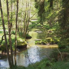
Waldnaabtal
5.5 km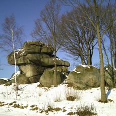
Wolfenstein
7.4 km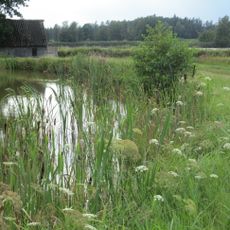
Tirschenreuther Teichpfanne
7.7 km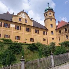
Schloss Reuth
7.1 km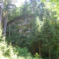
Burgstall Altneuhaus
4.9 km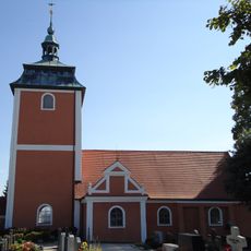
Kreuzbergkirche
4.6 km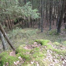
Burgstall Lengenfeld
6 km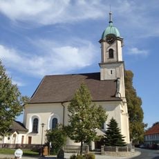
Pfarrkirche Maria Hilf (Premenreuth)
5.9 km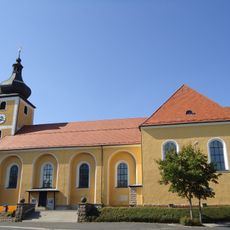
Sankt Michael
4.6 km
Burgstall Schwarzenschwall
4.3 km
Burgstall Herrenstein
5.5 km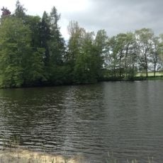
Burgstall Schönficht
7.5 km
St. Nikolaus (Bernstein)
5.6 km
St. Pankratius (Falkenberg)
2.4 km
Kirche St. Katharina
7.1 km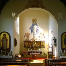
Maria Immaculata
7.2 km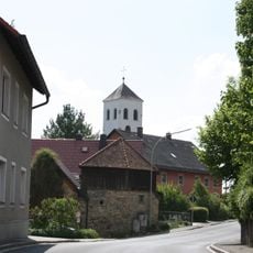
Katholische Pfarrkirche Herz Jesu
7.2 km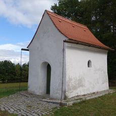
Hammerkapelle
2.6 km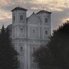
Katholische Wallfahrtskirche Unserer Lieben Frau
7.1 km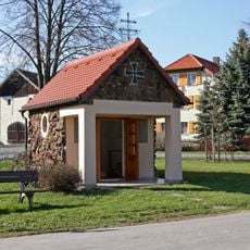
Kriegergedächtniskapelle für die Gefallenen von 1914/18
5.3 km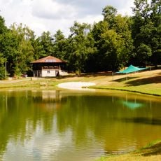
Fuchsmühler Waldbadeweiher
5.7 km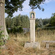
Bildstock bei der Linde an der St2181
7.8 km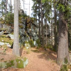
Hackelstein-Gipfel W von Fuchsmühl
7.7 km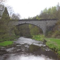
Bogenbrücke über die Fichtelnaab
7.6 km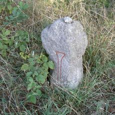
Steinkreuz Schnepfenbühl
7.9 km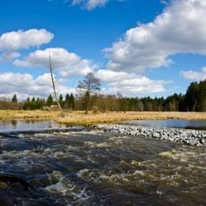
Waldnaabtal zwischen Tirschenreuth und Windisch-Eschenbach
3.4 km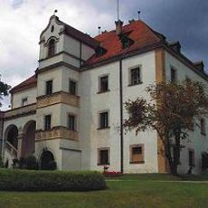
Schloss
7.1 kmReviews
Visited this place? Tap the stars to rate it and share your experience / photos with the community! Try now! You can cancel it anytime.
Discover hidden gems everywhere you go!
From secret cafés to breathtaking viewpoints, skip the crowded tourist spots and find places that match your style. Our app makes it easy with voice search, smart filtering, route optimization, and insider tips from travelers worldwide. Download now for the complete mobile experience.

A unique approach to discovering new places❞
— Le Figaro
All the places worth exploring❞
— France Info
A tailor-made excursion in just a few clicks❞
— 20 Minutes