
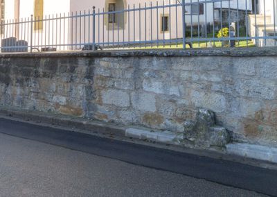
Friedhofsmauer St. Georg, Historische Mauer im Landkreis Ansbach in Bayern
Location: Steinsfeld
Part of: St. Georg
GPS coordinates: 49.41640,10.15250
Latest update: March 3, 2025 07:56
St. Peter and St. Paul's Church
3.4 km
Oppidum Finsterlohr
3.4 km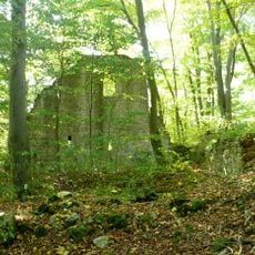
Burg Seldeneck
549 m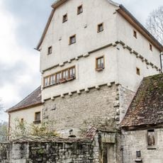
Detwang 29
3.4 km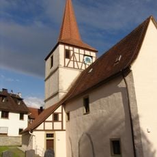
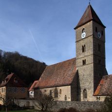
St. Georg
28 m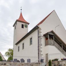
St. Nikolaus (Adelshofen)
3.1 km
Burgstall
3.1 km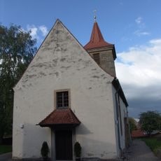
St. Michael
3.2 km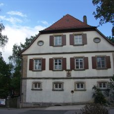
Evangelisch-lutherisches Pfarrhaus (Gattenhofen)
3.2 km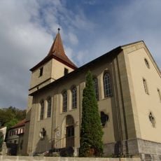
St. Johannes Baptist
2.6 km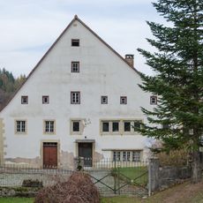
Creglinger Straße 1
2.9 km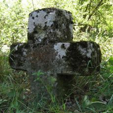
Steinkreuz bei Gattenhofen
3.2 km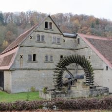
Scheune Creglinger Straße 1 in Rothenburg ob der Tauber
2.9 km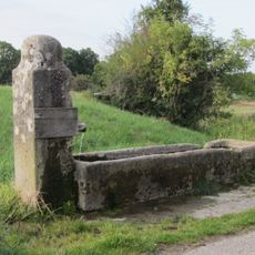
Stäffeleinsbrunnen
3.3 km
Cultural heritage D-5-6527-0207 in Steinsfeld
2 km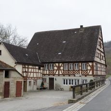
Salznersmühle
2.8 km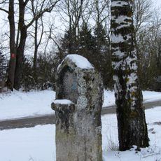
Bildstock am Walnußweg bei Rothenburg ob der Tauber
2.2 km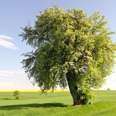
Birnbaum Hohbach
2 km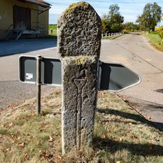
Bildstock Gattenhofen
3 km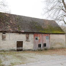
Zweigeschossiger Anbau
3.4 km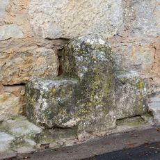
Steinkreuz in Bettwar
3 m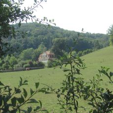
Gutshof Hohbach, Gutshaus
1.9 km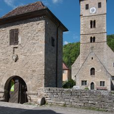
Friedhofsmauer Detwang 31 in Rothenburg ob der Tauber
3.4 km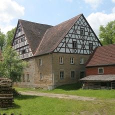
Detwang 30
3.4 km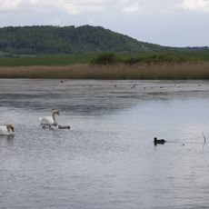
Taubertal nördlich Rothenburg und Steinbachtal
2.2 km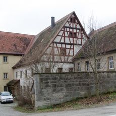
Wassermühle, Wohn- und Mühlengebäude
2 km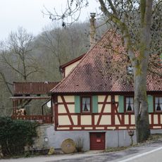
Walkmühle, Creglinger Straße 2
2.4 km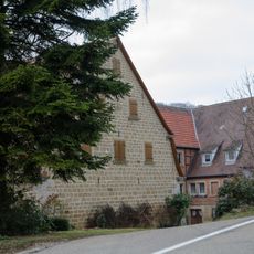
Weißenmühle
1.3 kmVisited this place? Tap the stars to rate it and share your experience / photos with the community! Try now! You can cancel it anytime.
Discover hidden gems everywhere you go!
From secret cafés to breathtaking viewpoints, skip the crowded tourist spots and find places that match your style. Our app makes it easy with voice search, smart filtering, route optimization, and insider tips from travelers worldwide. Download now for the complete mobile experience.

A unique approach to discovering new places❞
— Le Figaro
All the places worth exploring❞
— France Info
A tailor-made excursion in just a few clicks❞
— 20 Minutes