
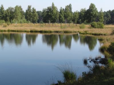
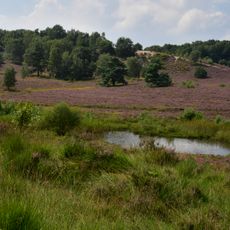
Teverener Heide, protected area in the European Union defined by the habitats directive in Nordrhein-Westfalen, Germany
Location: Gangelt
Location: Übach-Palenberg
Location: Geilenkirchen
Inception: 1999
GPS coordinates: 50.94440,6.03211
Latest update: March 3, 2025 10:28
Brunssummerheide
4.3 km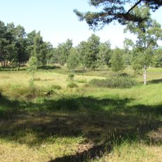
Teverener Heide
214 m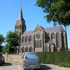
Sint-Jozefkerk
3.4 km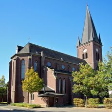
St. Mariä Himmelfahrt
3.1 km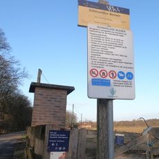
Schinveldse Bossen
3.6 km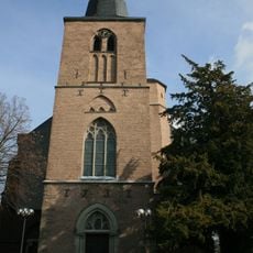
St. Willibrord
3.6 km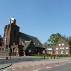
Sint-Vincentius a Paolokerk
3.9 km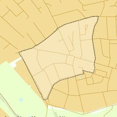
Lauradorp
3.6 km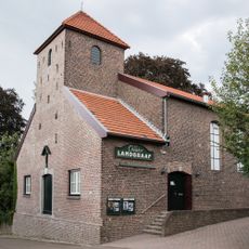
Oude Parochiekerk Waubach
3.3 km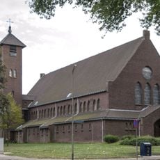
Sint-Theresiakerk
3.7 km
Sint-Bernadettekerk
2.3 km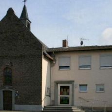
Evangelical Church
3.8 km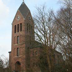
St. Kornelius
2 km
Brunssummer Molen
3.9 km
Bouwbergstraat 78, Brunssum
3.3 km
Former town hall Ubach over Worms
3.5 km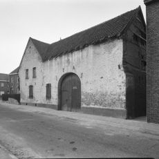
Charles Frehenstraat 36, Landgraaf
3.3 km
De Bieleman
3.3 km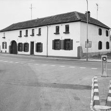
Kantstraat 2, Landgraaf
3.2 km
Charles Frehenstraat 22, Landgraaf
3.3 km
Charles Frehenstraat 20, Landgraaf
3.3 km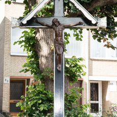
Wayside cross Charles Frehenstraat, Landgraaf
3.3 km
Charles Frehenstraat 2, Landgraaf
3.3 km
Charles Frehenstraat 53, Landgraaf
3.3 km
Kerkberg 7, Landgraaf
3.3 km
Wayside cross Maastrichterlaan-Kantstraat, Landgraaf
3.5 km
Grensstraat 129, Landgraaf
3.2 km
Grensstraat 87, Landgraaf
3.2 kmReviews
Visited this place? Tap the stars to rate it and share your experience / photos with the community! Try now! You can cancel it anytime.
Discover hidden gems everywhere you go!
From secret cafés to breathtaking viewpoints, skip the crowded tourist spots and find places that match your style. Our app makes it easy with voice search, smart filtering, route optimization, and insider tips from travelers worldwide. Download now for the complete mobile experience.

A unique approach to discovering new places❞
— Le Figaro
All the places worth exploring❞
— France Info
A tailor-made excursion in just a few clicks❞
— 20 Minutes