
Ruwerbachtal, protected area in Germany
Location: Weiskirchen
Inception: 1987
GPS coordinates: 49.53430,6.81700
Latest update: June 25, 2025 19:59
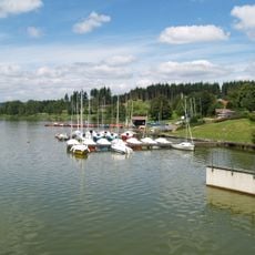
Stausee Losheim
6.3 km
Schloss Dagstuhl
5.9 km
Dagstuhl Castle
5.7 km
Ausweichsitz der saarländischen Landesregierung
5.9 km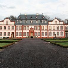
Schloss Münchweiler
4.2 km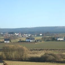
Teufelskopf
7.1 km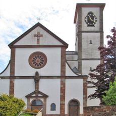
St. Peter und Paul
5.9 km
Hungerburg Weierweiler
1.1 km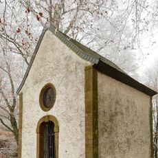
Schwarzenburg (Lockweiler)
7 km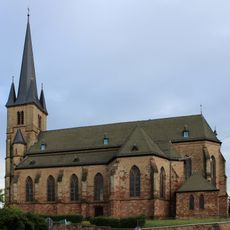
Herz-Jesu-Kirche
5.6 km
St. Jakobus der Ältere (Weiskirchen)
2.4 km
Schlosskapelle Heilig Kreuz
5.9 km
Allerheiligenkirche
5.3 km
Altes Schloss (Scheiden)
5.8 km
Finkenburg (Weiskirchen)
2.8 km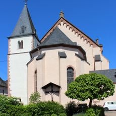
St. Martin
7.7 km
Zur Schmerzhaften Muttergottes
7.6 km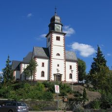
St. Helena
5.8 km
Evangelical Church
5 km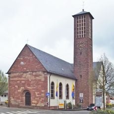
St. Hubertus
4.6 km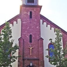
St. Johannes der Täufer
2.6 km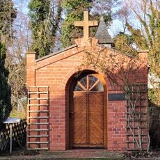
Antoniuskapelle
5.2 km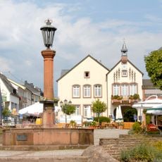
Marktbrunnen Wadern
5.3 km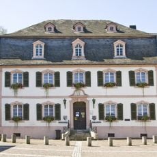
Stadtmuseum Wadern
5.2 km
Wachtelkopf bei Rappweiler
2 km
Wachtelkopf bei Rappweiler
1.8 km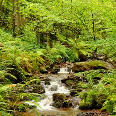
Landschaftsschutzgebiet "Lannenbachaue bei Scheiden und Umgebung" (L 6406-302)
6.1 km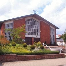
St. Martin
1.3 kmReviews
Visited this place? Tap the stars to rate it and share your experience / photos with the community! Try now! You can cancel it anytime.
Discover hidden gems everywhere you go!
From secret cafés to breathtaking viewpoints, skip the crowded tourist spots and find places that match your style. Our app makes it easy with voice search, smart filtering, route optimization, and insider tips from travelers worldwide. Download now for the complete mobile experience.

A unique approach to discovering new places❞
— Le Figaro
All the places worth exploring❞
— France Info
A tailor-made excursion in just a few clicks❞
— 20 Minutes