
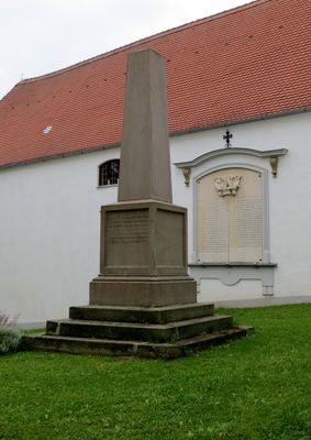
Kriegerdenkmal, 1876
Location: Altomünster
Address: Kirchenstraße
GPS coordinates: 48.38824,11.25727
Latest update: March 13, 2025 03:31
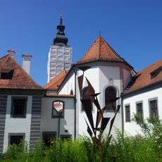
Altomünster Abbey
70 m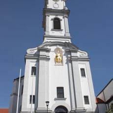
Sankt Alto und Birgitta (Altomünster)
21 m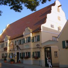
Kapplerbräu
118 m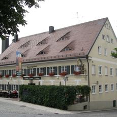
Maierbräu
125 m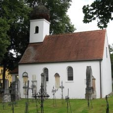
Loreto Chapel (Altomünster)
175 m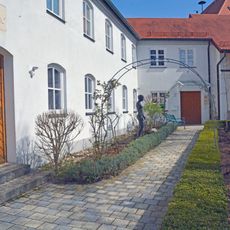
Museum Altomünster
98 m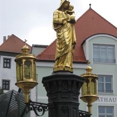
Marktbrunnen
98 m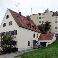
Kellerbergstraße 2
178 m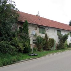
Nerbstraße 44
347 m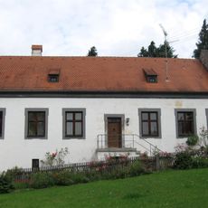
Ehemaliges Kaplanhaus
51 m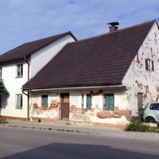
Pipinsrieder Straße 27
207 m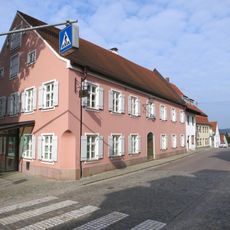
Herzog-Georg-Straße 3 und 5
120 m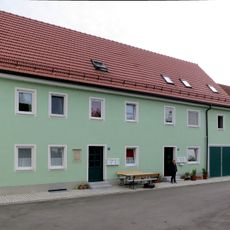
An der Klostermauer 6
144 m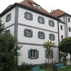
Ehemaliges Bürgerhaus
46 m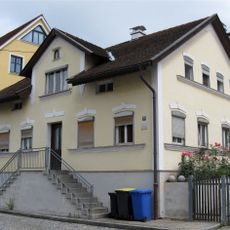
Herzog-Georg-Str 10
113 m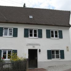
Ehemalige Klostergärtnerei
69 m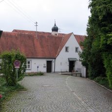
Sankt-Birgittenhof 7
39 m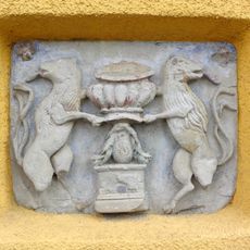
Herzog-Georg-Straße 4
94 m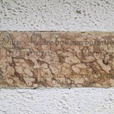
Inschrifttafel
128 m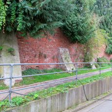
Klostermauer
51 m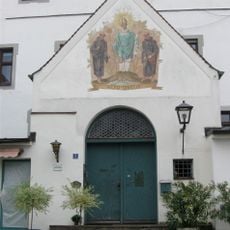
Ehemalige Klosterbibliothek mit Altobrunnen
48 m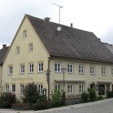
Gasthaus Herzog
91 m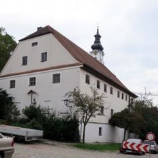
Ehemals Klosterstadel
74 m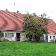
An der Schwemme 11
215 m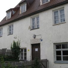
Schultreppe 4 (Altomünster)
149 m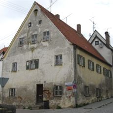
Sandizellergasse 9 (Altomünster)
152 m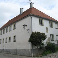
Nißlgasse 4 (Altomünster)
106 m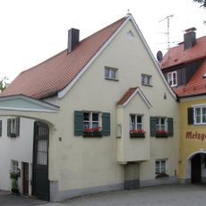
Bürgerhaus mit Hängeerker
117 mReviews
Visited this place? Tap the stars to rate it and share your experience / photos with the community! Try now! You can cancel it anytime.
Discover hidden gems everywhere you go!
From secret cafés to breathtaking viewpoints, skip the crowded tourist spots and find places that match your style. Our app makes it easy with voice search, smart filtering, route optimization, and insider tips from travelers worldwide. Download now for the complete mobile experience.

A unique approach to discovering new places❞
— Le Figaro
All the places worth exploring❞
— France Info
A tailor-made excursion in just a few clicks❞
— 20 Minutes