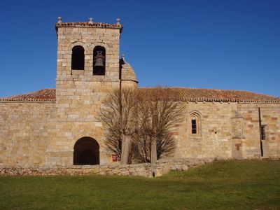
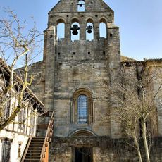
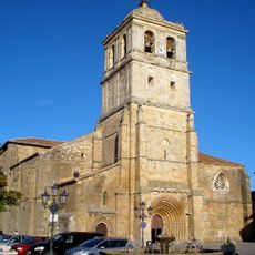
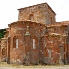
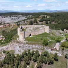
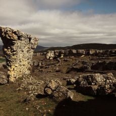
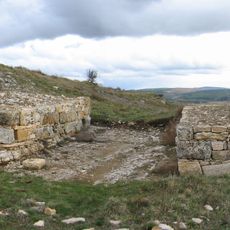
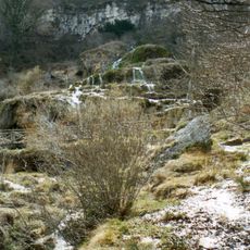
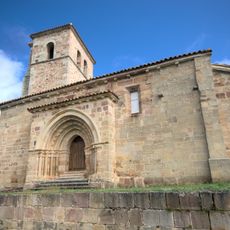
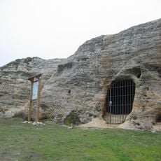
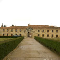
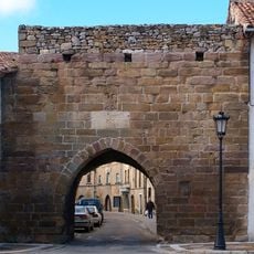
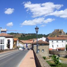
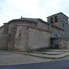
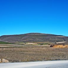
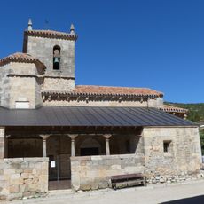
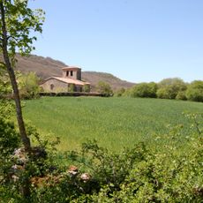
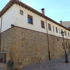
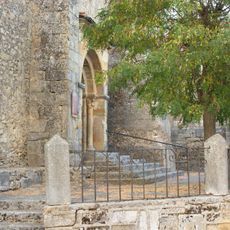
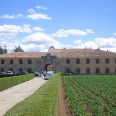
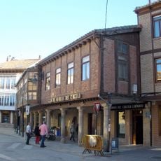
Pomar de Valdivia, municipality of Spain
Location: Palencia Province
Capital city: Pomar de Valdivia
Elevation above the sea: 963 m
Part of: Mancomunitat «Aguilar-Valdivia»
Shares border with: Aguilar de Campoo, Valderredible, Valle de Valdelucio
Website: http://pomardevaldivia.dip-palencia.es
GPS coordinates: 42.77389,-4.16944
Latest update: March 3, 2025 02:35
Monastery of Santa María la Real in Aguilar de Campoo
8.7 km
Colegiate of San Miguel
7.7 km
Monastery of Santa María la Real, Mave
10.2 km
Cueva de los Franceses
4.3 km
Monte Bernorio
2.9 km
Rock carved hermitage of Saints Justus and Pastor, Olleros de Pisuerga
10 km
Hermitage of Santa Cecilia
8 km
Castle of Aguilar de Campoo
8.1 km
Las Tuerces
6.4 km
Monte Cildá
9 km
Covalagua
835 m
Iglesia rupestre de Santa María de Valverde
3.2 km
Babia and Luna Natural Park
835 m
La Valdivia
7.7 km
Santa María la Real
11.1 km
Rock carved hermitage of San Pelayo, Villacibio
7.8 km
Monastery of Santa Clara, Aguilar de Campoo
7.9 km
Reinosa Gate
7.5 km
Aguilar de Campoo
7.7 km
Church of Saint Andrew
5.7 km
Monte Bernorio
2.9 km
Church of San Salvador
8.2 km
Church of Santiago
4.4 km
Casa Rectoral de Aguilar de Campoo
7.7 km
Iglesia Parroquial de Pomar de Valdivia
154 m
Convento de Santa Clara
7.9 km
Villa de Aguilar de Campoo
7.7 km
Valcabado 2005©
5.6 kmReviews
Visited this place? Tap the stars to rate it and share your experience / photos with the community! Try now! You can cancel it anytime.
Discover hidden gems everywhere you go!
From secret cafés to breathtaking viewpoints, skip the crowded tourist spots and find places that match your style. Our app makes it easy with voice search, smart filtering, route optimization, and insider tips from travelers worldwide. Download now for the complete mobile experience.
A unique approach to discovering new places❞
— Le Figaro
All the places worth exploring❞
— France Info
A tailor-made excursion in just a few clicks❞
— 20 Minutes