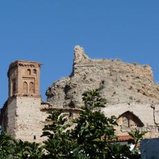
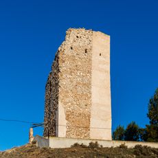
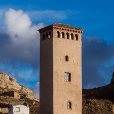
Sierra de Vicort, mountain in Spain
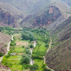
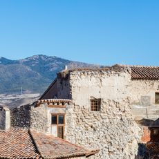
Sierra de Vicort is a mountain chain in southwest Iberia within Zaragoza Province, with peaks rising above 1,400 meters (4,600 feet), the highest being Pico del Rayo. The range is composed of ancient Paleozoic quartzite and slate, featuring steep northern cliffs and more gradual southern slopes that descend toward the plains.
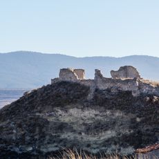
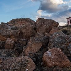
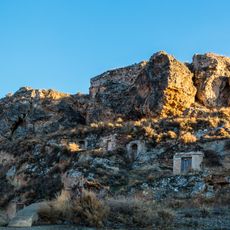
The mountains were inhabited by Celtiberian tribes during the Iron Age, who built small fortified villages on the hills and engaged in regional trade networks. The geological formations developed during the Alpine orogeny millions of years ago, when Earth's movements pushed and folded ancient Paleozoic rocks into the elevated ridges seen today.
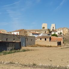
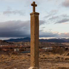
The name Vicort comes from ancient Celtiberian words meaning "two peaks," referring to the distinctive double summits that define the range. Local communities continue traditional farming and livestock herding practices that shape how people interact with the land today.
Access is available through local roads and hiking trails like the GR 90, which leads to the summits with views across the surrounding regions. Spring and autumn offer the most pleasant conditions, as summers are hot and dry with elevated wildfire risk, while winters bring snow to the highest elevations.
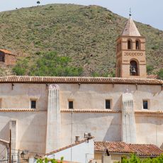
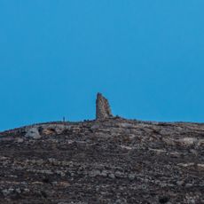
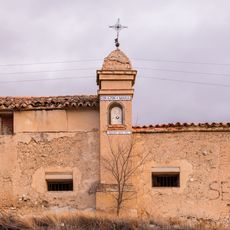
A small chapel called Ermita de Nuestra Señora de Jerusalén sits atop Pico de Santa Brígida, where locals still come to pray and find moments of reflection. The peak also holds a weather station and radar equipment, creating an unexpected blend of rural spiritual tradition and modern technology on the mountainside.
The community of curious travelers
AroundUs brings together thousands of curated places, local tips, and hidden gems, enriched daily by 60,000 contributors worldwide.