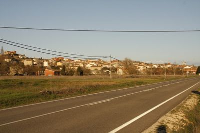
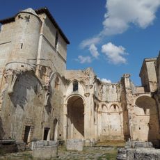
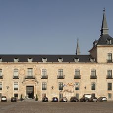
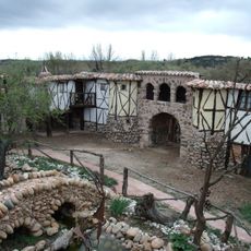
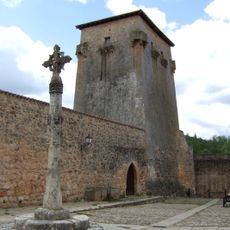
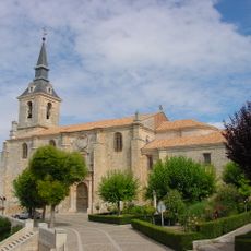
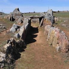
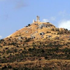
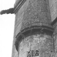
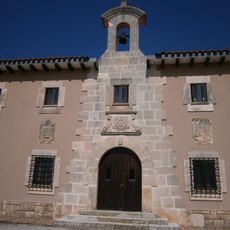
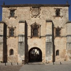
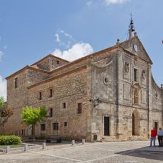
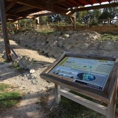
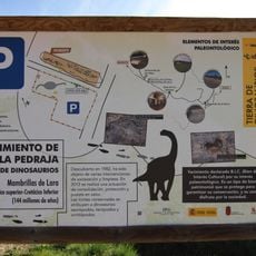
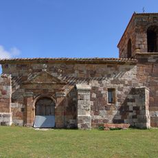
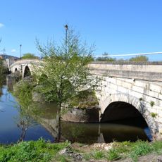
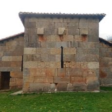
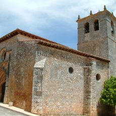
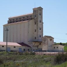
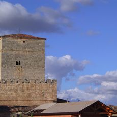
Quintanilla del Agua, human settlement in Burgos Province, Castile and León, Spain
Location: Quintanilla del Agua y Tordueles
GPS coordinates: 42.03861,-3.65222
Latest update: March 15, 2025 07:32
San Pedro de Arlanza
15.4 km
Santa Maria de Lara
17.6 km
Lerma Ducal Palace
8.6 km
Colegiata de San Cosme y San Damián
11.2 km
Territorio Artlanza
1 km
Tower of Covarrubias
11.2 km
Collegiate church of San Pedro in Lerma
8.9 km
Dolmen de Cubillejo de Lara
14.8 km
Castle of Lara de los Infantes
18.7 km
Abbey of San Quirce
17.6 km
Monasterio de Santa María la Real
12.2 km
Castile Adelantamiento Archive
11.2 km
Convent of Santa Teresa, Lerma
8.8 km
Conjunto Histórico de la Villa de Covarrubias
11.1 km
Iglesia de San Pedro, Castrillo Solarana
6.7 km
Puente de San Pablo
11.1 km
Hermitage of Santa Cecilia, Barriosuso
16.8 km
La Pedraja fossil site
17.7 km
Ichnite sites of Burgos and Soria
17.7 km
Iglesia de San Millán, Torrelara
18.2 km
Bridge of Puentedura
5.7 km
Església de Santa María de Quintanilla de las Viñas
17.6 km
Church of La Asunción de Nuestra Señora, Solarana
7.5 km
Ermita de San Olav
13 km
Silo de Lerma
10.1 km
Tower of Torrecitores
17.8 km
Biblioteca Pública Municipal de Lerma
8.8 km
Villa de Covarrubias
11.2 kmVisited this place? Tap the stars to rate it and share your experience / photos with the community! Try now! You can cancel it anytime.
Discover hidden gems everywhere you go!
From secret cafés to breathtaking viewpoints, skip the crowded tourist spots and find places that match your style. Our app makes it easy with voice search, smart filtering, route optimization, and insider tips from travelers worldwide. Download now for the complete mobile experience.
A unique approach to discovering new places❞
— Le Figaro
All the places worth exploring❞
— France Info
A tailor-made excursion in just a few clicks❞
— 20 Minutes