
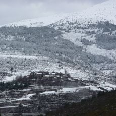
Pas dels Lladres, triangulation station in Toses, Spain
Location: Toses
Elevation above the sea: 2,547.089 m
Height: 1.2 m
GPS coordinates: 42.36176,2.08467
Latest update: March 4, 2025 15:28

Dòrria
3.3 km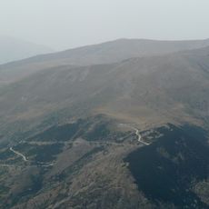
Fontalba
5.8 km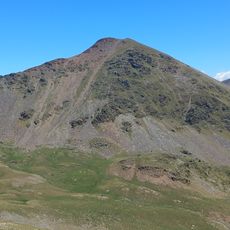
Pic del Segre
5 km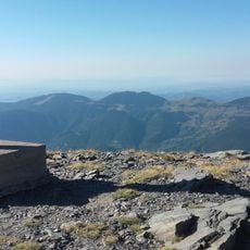
Puig de Dòrria
0 m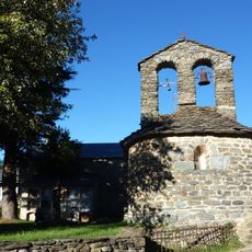
Sant Marcel de Planés
4.8 km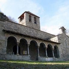
Església de Sant Jaume de Queralbs
6.5 km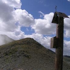
Coll de Finestrelles
6.2 km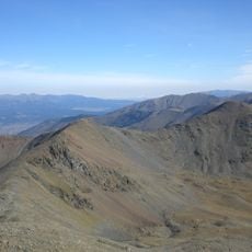
Pic Petit de Segre
4.4 km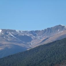
Tossa del Pas dels Lladres
1.4 km
Sant Vicenç de Planoles
5.3 km
Église Saint Félix de Valcebollère
4.8 km
Grèvol de Ventolà
6.5 km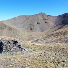
Puigmal de Llo
4.2 km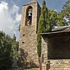
Sant Cristòfol de Ventolà
6.5 km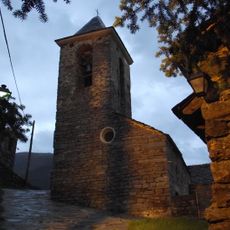
Església de Sant Víctor
3.5 km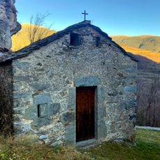
Sant Sebastià de Queralbs
6.3 km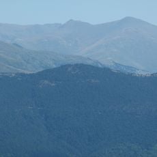
Estremera Summit
4.2 km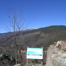
Cim de la Dou
4 km
Església de la Mare de Déu del Carme de Nevà
5.4 km
Can Fosses
4.7 km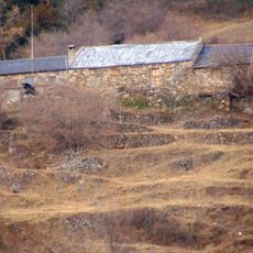
El Puig
6.2 km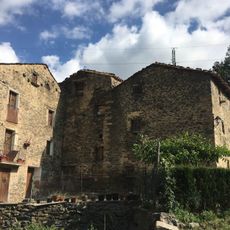
Cal Roquetes i Cal Pau
4.6 km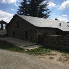
Cal Jan Pau
4.8 km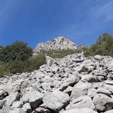
Roques de l'Oratori
6.6 km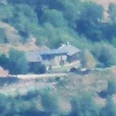
Can Sadurní
5.6 km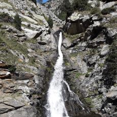
Salt del Sastre
6.5 km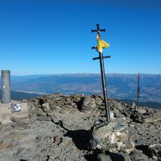
Puigmal
3.6 km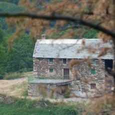
Can Baldric de Dalt
6.1 kmVisited this place? Tap the stars to rate it and share your experience / photos with the community! Try now! You can cancel it anytime.
Discover hidden gems everywhere you go!
From secret cafés to breathtaking viewpoints, skip the crowded tourist spots and find places that match your style. Our app makes it easy with voice search, smart filtering, route optimization, and insider tips from travelers worldwide. Download now for the complete mobile experience.

A unique approach to discovering new places❞
— Le Figaro
All the places worth exploring❞
— France Info
A tailor-made excursion in just a few clicks❞
— 20 Minutes