
St Mary Hoo, village and civil parish in Kent, England
Location: Medway
Website: https://stmaryhoo-pc.gov.uk
GPS coordinates: 51.46670,0.60830
Latest update: May 29, 2025 12:10
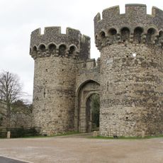
Cooling Castle
6.1 km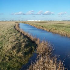
North Kent Marshes
7.7 km
Labworth Café
5.1 km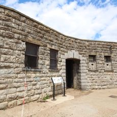
Slough Fort
2.7 km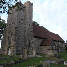
St James' Church, Cooling
5.8 km
Canvey Wick
8 km
Lower Horse
7.5 km
High Halstow NNR
3.4 km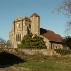
Church of St Peter and St Paul
2.6 km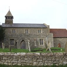
Church of All Saints
2.3 km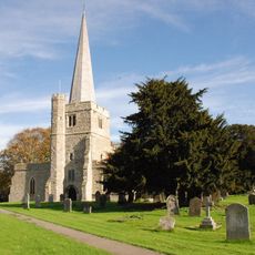
Church of St Werburgh, Hoo
6.3 km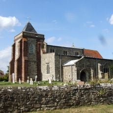
Church of St Margaret
3.9 km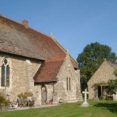
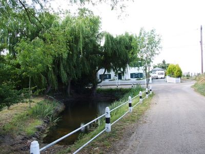
Church of St Mary
1.2 km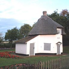
Dutch Cottage Museum
7.4 km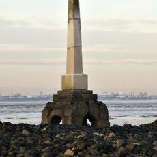
The London Stone, Yantlet Creek
4.9 km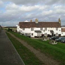
The Lobster Smack Public House
6.3 km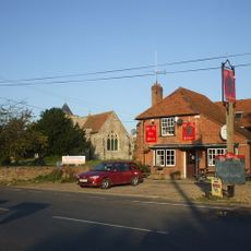
The Red Dog Public House
3.9 km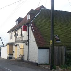
Rose And Crown Public House
2.3 km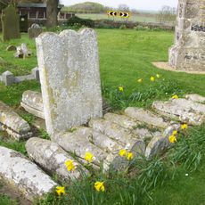
Comport and Baker Tombs 5 Yards to South of Church of St James
5.8 km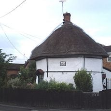
Dutch Cottage
6.6 km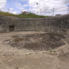
Slough Fort and wing batteries
2.7 km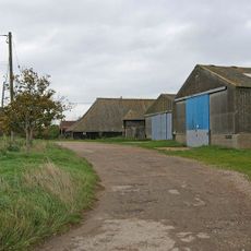
Brickhouse Farmhouse
959 m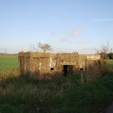
Type 24 Second World War pillbox south of Abbots Court Cottages, Hoo St Werburgh
5.7 km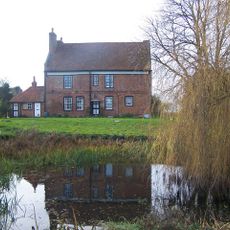
Cooling Court
6.2 km
Barn 25 Yards South Of Brickhouse Farmhouse
935 m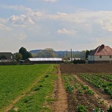
Barn At Rye Farm
6.6 km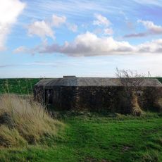
Type 28 Wwii Pillbox On Seawall Of River Medway At Tq7924471695
6.1 km
Dux Court
4.7 kmVisited this place? Tap the stars to rate it and share your experience / photos with the community! Try now! You can cancel it anytime.
Discover hidden gems everywhere you go!
From secret cafés to breathtaking viewpoints, skip the crowded tourist spots and find places that match your style. Our app makes it easy with voice search, smart filtering, route optimization, and insider tips from travelers worldwide. Download now for the complete mobile experience.

A unique approach to discovering new places❞
— Le Figaro
All the places worth exploring❞
— France Info
A tailor-made excursion in just a few clicks❞
— 20 Minutes