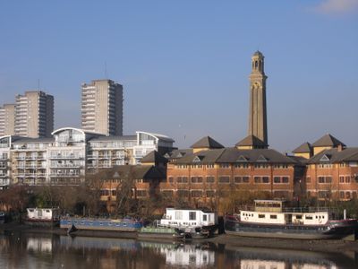
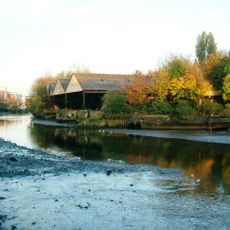
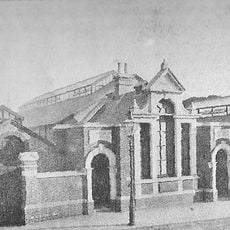
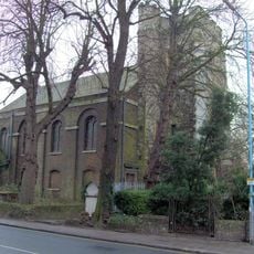
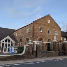
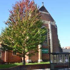
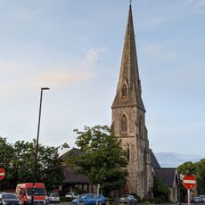
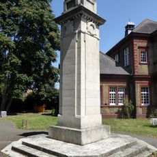
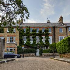
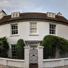
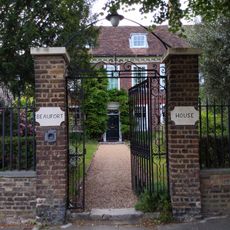
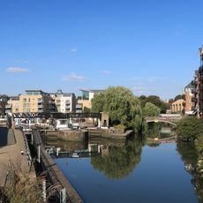
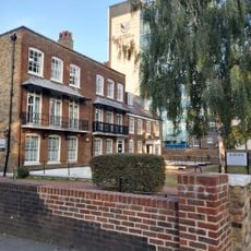
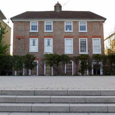
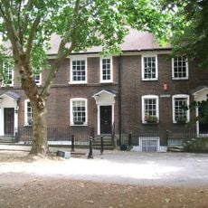
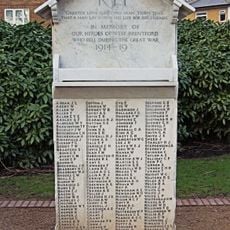
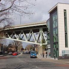
Brentford, town in west London, England
Location: London Borough of Hounslow
GPS coordinates: 51.48610,-0.31010
Latest update: March 9, 2025 01:57
Watermans
791 m
Lots Ait
830 m
Brentford Baths
242 m
Brentford Library
185 m
Roman Catholic Church of St John the Evangelist
409 m
Church of St Lawrence, Brentford
412 m
Congregational Church
205 m
Church of St Faith
543 m
Brentford Monument
478 m
Flora's Column
630 m
Syon House Conservatory
854 m
St Paul's Church
309 m
Brentford War Memorial
193 m
17, Somerset Road
75 m
Garden Wall, 2 Sets Of Iron Gates Gateposts To Boston Manor House
829 m
Westlink House
726 m
The Cedars
50 m
991, Great West Road
558 m
Brentford Gas Light and Coke Company WWI Memorial
159 m
Beaufort House Chatam House
147 m
Toll House At Brentford Lock
342 m
73 And 75, Boston Manor Road
525 m
Messers Peerless Pumps
673 m
St Raphaels Convent
199 m
24, The Butts
198 m
West Brentford Stone of Remembrance
161 m
Former Brentford Fire Station
585 m
Boston Manor viaduct
513 mReviews
Visited this place? Tap the stars to rate it and share your experience / photos with the community! Try now! You can cancel it anytime.
Discover hidden gems everywhere you go!
From secret cafés to breathtaking viewpoints, skip the crowded tourist spots and find places that match your style. Our app makes it easy with voice search, smart filtering, route optimization, and insider tips from travelers worldwide. Download now for the complete mobile experience.
A unique approach to discovering new places❞
— Le Figaro
All the places worth exploring❞
— France Info
A tailor-made excursion in just a few clicks❞
— 20 Minutes