Grimsay, Tidal island in Outer Hebrides, Scotland.
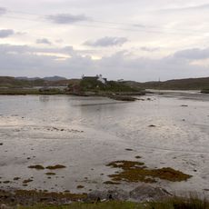
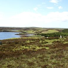
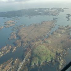
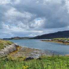
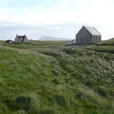
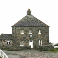
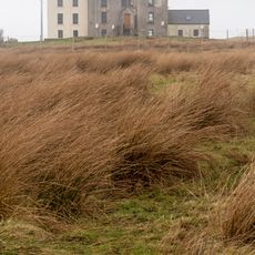
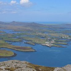
Grimsay is a tidal island in the Outer Hebrides, Scotland, lying between North Uist and Benbecula and connected to both by a causeway. A single-track road loops around the island, linking the settlements of Baymore and Kallin with scattered crofting homes spread across the low, flat landscape.
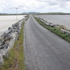
For most of its history, Grimsay could only be reached by ferry or on foot across the tidal flats at low water, making everyday connections to neighboring islands difficult. The North Ford Causeway, opened in the 1960s and inaugurated by the Queen Mother, put an end to that isolation by creating a permanent road link.
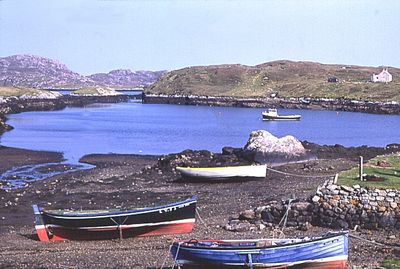
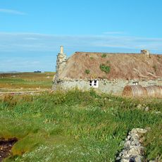
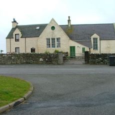
The harbor at Kallin is where daily life on the island visibly centers, with fishing boats, shellfish cages, and boatbuilding activity. Scottish Gaelic is still spoken here as a living language, and visitors can hear it used naturally in everyday conversation.
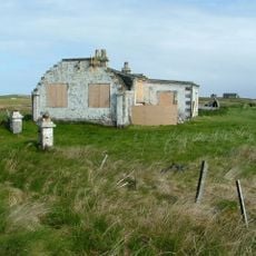
The island is reached by road via the causeway and can be visited in most weather, though Atlantic winds can make conditions rough at any time of year. Visitor facilities are very limited, so it is worth coming prepared with food, water, and anything else you might need.
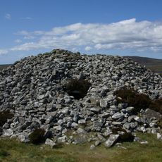
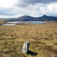
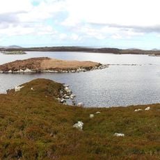
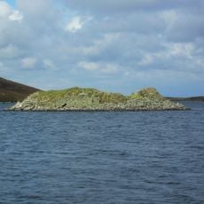
On the northeast coast stand the remains of an Iron Age wheelhouse called Bagh nam Feadag, a circular stone structure built around 2000 years ago. Wheelhouses of this type, with internal stone dividers arranged like spokes, are rarely found outside the Western Isles.
The community of curious travelers
AroundUs brings together thousands of curated places, local tips, and hidden gems, enriched daily by 60,000 contributors worldwide.