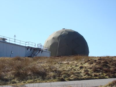
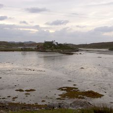
RRH Benbecula, Military radar station in North Uist, Scotland
RRH Benbecula is a Royal Air Force radar facility in the Outer Hebrides equipped with advanced tracking systems for monitoring air traffic. The station continuously gathers surveillance data and transmits it to the national defense network to support air operations over the North Atlantic region.
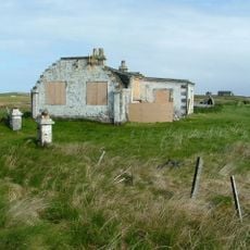
The site began as an RAF airbase during World War II that later transformed into a radar facility. The surveillance role replaced the earlier function of flying patrols across the North Atlantic.
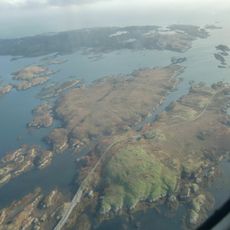
The facility sits within traditional Scottish island communities where military infrastructure coexists with everyday rural life and centuries-old settlements. Local people navigate the intersection of defense operations and their traditional way of living in these remote Hebridean landscapes.
The station is not open to public visits since it operates as an active military facility with security restrictions. You can explore the surrounding area, but direct access to the installation requires special authorization.
An unexpected link formed between wind energy and air defense when renewable energy developers funded radar upgrades. This partnership allowed wind turbines to be built in the region without compromising surveillance operations.
The community of curious travelers
AroundUs brings together thousands of curated places, local tips, and hidden gems, enriched daily by 60,000 contributors worldwide.