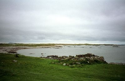
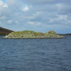
Ceann Ear, Tidal island in Outer Hebrides, Scotland
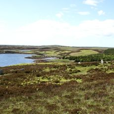
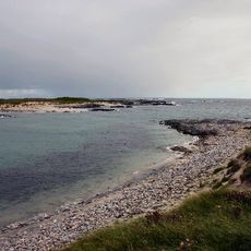
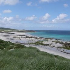
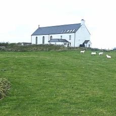
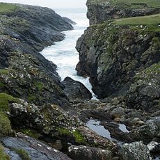
Ceann Ear stretches about two kilometers across flat sandy terrain and connects to neighboring Ceann Iar during low tide via a strip of land called Sibhinis. The landscape is low and open, shaped by sand dunes and sparse vegetation adapted to harsh northern conditions.
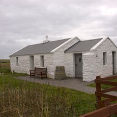
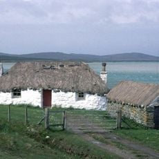
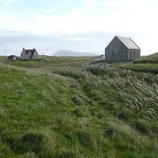
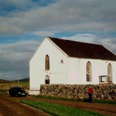
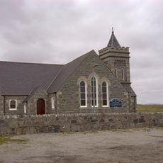
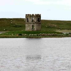
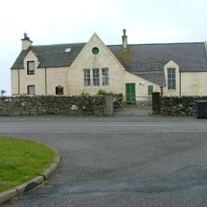
The island was continuously inhabited until 1942, serving as the main settlement within the Monach Islands group before complete abandonment. Communities gradually left over time, ending a long chapter of daily life that had defined the place.
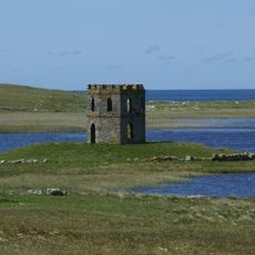
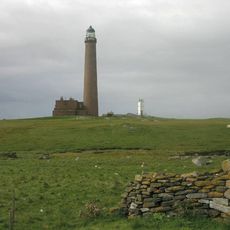
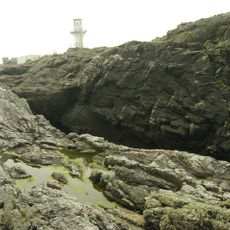
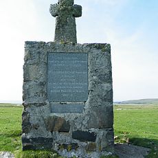
A 13th-century chapel at Cladh na Beide in the northeast showed early Christian connections to Iona and its monastic traditions. Monks stayed on the island to maintain navigation lights on nearby Shillay, linking it to broader seafaring practices of the time.
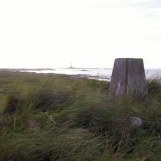
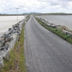
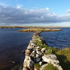
Check tide times before visiting, as the crossing to Ceann Iar via Sibhinis is only possible at low tide and water rises quickly. The weather is often windy and cool, so warm clothing and sturdy footwear are essential.
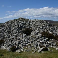
Grain drying kilns were built into houses as interior features rather than as separate buildings, a building practice more common in Shetland. This unusual construction choice shows how island residents adapted building methods to cope with harsh weather.
The community of curious travelers
AroundUs brings together thousands of curated places, local tips, and hidden gems, enriched daily by 60,000 contributors worldwide.