Ceann Iar, Tidal island in the Monach Islands, Outer Hebrides, Scotland.
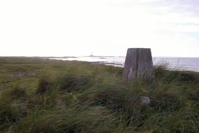
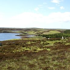
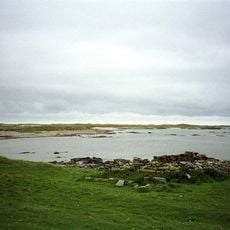
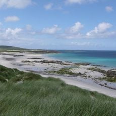
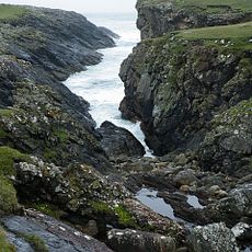
Ceann Iar is a tidal island in the Monach Islands, stretching roughly two kilometers along the western edge with sandy terrain. The highest point at Cnoc Bharr reaches about 19 meters and offers views across the surrounding waters.
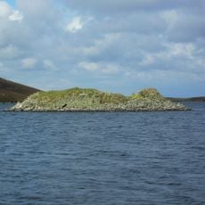
The island was once connected to Ceann Ear by solid land, but a major tidal wave in the 16th century separated them. This dramatic shift shaped the geology and how the tides work in the area today.
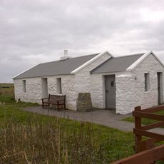
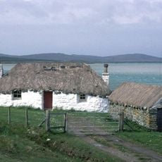
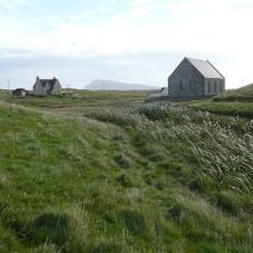
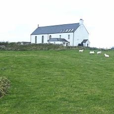
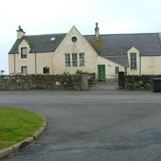
The place names here follow Gaelic patterns common throughout the Outer Hebrides. The settlement of Baile Beag shows how people adapted to the hilly terrain and maintained their way of life on this remote island.
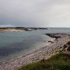
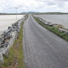
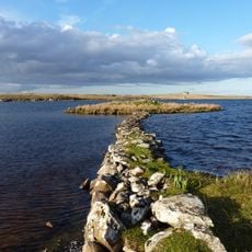
Access to the island depends heavily on tidal conditions, and you can reach the neighboring island of Ceann Ear at low tide by crossing the sandbar Sibhinis. Visitors should check tide tables and bring waterproof shoes and warm clothing, as conditions can change quickly.
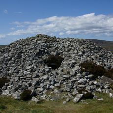
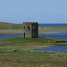
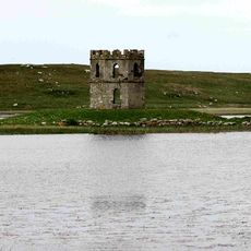
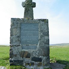
A cairn marks the grave of a Royal Naval Reserve lieutenant whose body washed ashore here after the ship HMA Laurentic sank. This quiet reminder tells a story of shipwreck and the sea's power to shape the island.
Location: Outer Hebrides
Part of: Outer Hebrides
GPS coordinates: 57.52500,-7.65000
Latest update: December 14, 2025 11:26
RRH Benbecula
17.6 km
Barpa Langass
22 km
Borve Castle
19.4 km
Pobull Fhinn
22.4 km
Ceann Ear
2.2 km
Scolpaig Tower
16.8 km
Teampull na Trionaid
19.7 km
Sibhinis
0 m
Balranald RSPB reserve
12.8 km
Old Monach Lighthouse
2.8 km
Baleshare Causeway
18.1 km
Struan Cottage
20.7 km
Bac Mic Connain
20.3 km
Nunton Church
17 km
North Uist, Claddach-kyles, Westford Inn
15.9 km
North Uist, Carinish Parish Church
20.1 km
Paible Free Church, North Uist
13.5 km
New Monach Light
2.7 km
Balranald Church, North Uist
13.3 km
South Uist, Ardkenneth, St Michael's Church, Presbytery
21.6 km
Haskeir Lighthouse
19.5 km
Dun Scolpaig, dun (site of) and tower
16.8 km
North Uist, Caisteal Odair
18.2 km
Eilean Domhnuill,settlement,Loch Olabhat
18.1 km
South Uist, Ardkenneth, St Michael's Church
21.5 km
Cille-Pheadair,cross 800m N of Balmartin
16 km
North Uist, Carinish Primary School, Schoolhouse
19.9 km
Dun Ban,dun,Loch Caravat
22.3 kmVisited this place? Tap the stars to rate it and share your experience / photos with the community! Try now! You can cancel it anytime.
Discover hidden gems everywhere you go!
From secret cafés to breathtaking viewpoints, skip the crowded tourist spots and find places that match your style. Our app makes it easy with voice search, smart filtering, route optimization, and insider tips from travelers worldwide. Download now for the complete mobile experience.
A unique approach to discovering new places❞
— Le Figaro
All the places worth exploring❞
— France Info
A tailor-made excursion in just a few clicks❞
— 20 Minutes