
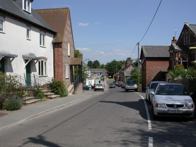
Sixpenny Handley, village in Dorset, United Kingdom
Location: Sixpenny Handley and Pentridge
GPS coordinates: 50.95480,-2.00730
Latest update: March 5, 2025 14:45
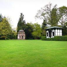
Larmer Tree Gardens
5.3 km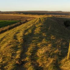
Bokerley Dyke
5 km
Wor Barrow and two bowl barrows on Handley Down
1.6 km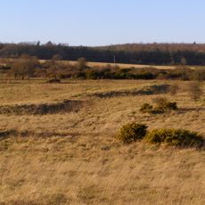
Bronze Age and Romano-British enclosure on Martin Down, east of Bokerley Junction
5.5 km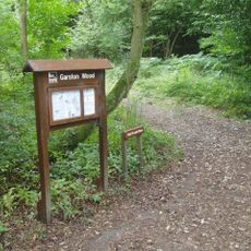
Garston Wood
2.2 km
Iron Age and Romano-British settlement remains on Woodcutts Common, 850m south east and 845m SSE of Arundell Cottages
3.3 km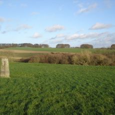
Iron Age and Romano-British settlement remains on Rotherley Down
5.2 km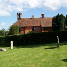
King John's House, Tollard Royal
5.2 km
Rotherley Downs
5.5 km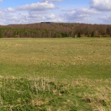
Group of round barrows on Oakley Down
2.3 km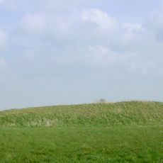
Two long barrows on Gussage Hill
3.6 km
Church of St Lawrence
4.4 km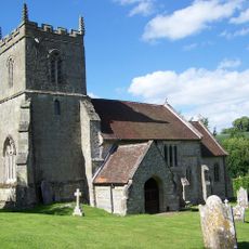
Church of St Peter Ad Vincula
5.2 km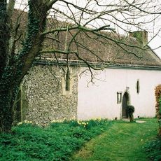
Church of St Andrew
3.6 km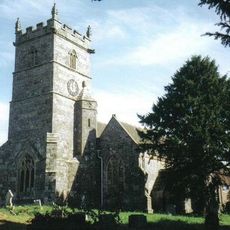
Church of St Mary
52 m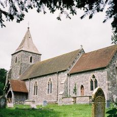
Church of St Rumbold
3.8 km
Tollard Royal And Rushmore War Memorial
5.2 km
Singing Theatre
5.3 km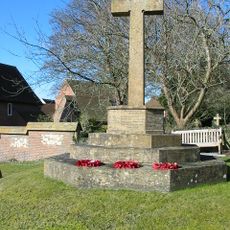
Sixpenny Handley War Memorial
21 m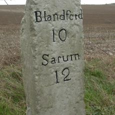
Milestone
1.6 km
Milestone
4.6 km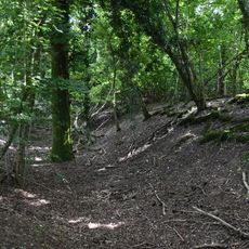
Camp in Mistlebury Wood
2.2 km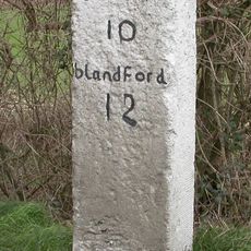
Milestone
3.8 km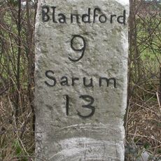
Milestone
2 km
Packhorse Bridge Approximately 35M South Of Ryall's Farmhouse.
4.9 km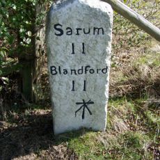
Milestone, just SW of Yew Trees Garage;
2.5 km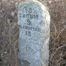
Milestone, Vernditch Chase
5.3 km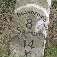
Milestone, 400m SW of entrance road to Chapel Down farm, NE of Cashmoor
3.2 kmVisited this place? Tap the stars to rate it and share your experience / photos with the community! Try now! You can cancel it anytime.
Discover hidden gems everywhere you go!
From secret cafés to breathtaking viewpoints, skip the crowded tourist spots and find places that match your style. Our app makes it easy with voice search, smart filtering, route optimization, and insider tips from travelers worldwide. Download now for the complete mobile experience.

A unique approach to discovering new places❞
— Le Figaro
All the places worth exploring❞
— France Info
A tailor-made excursion in just a few clicks❞
— 20 Minutes