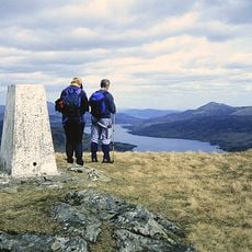
An Caisteal, Mountain summit in Stirling, Scotland.
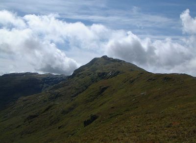
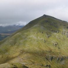
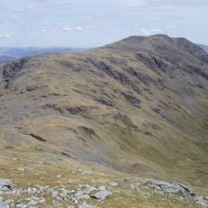
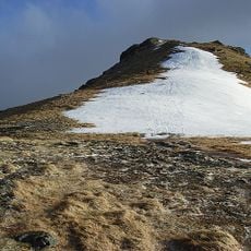
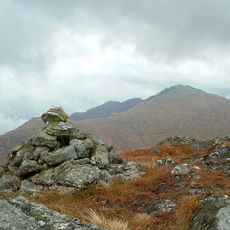
An Caisteal is a mountain summit in Stirling standing at approximately 996 meters with several pronounced ridges extending from the peak. The slopes feature grass and rock, with the top showing particularly rough stone formations.
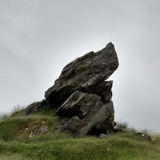
The mountain took its name from Scottish Gaelic meaning 'the castle', referring to the prominent rock formations at its summit. This naming reflects the striking appearance that has drawn attention for a long time.
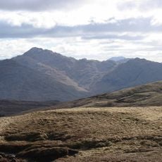
This peak belongs to a group of seven Munros in the Crianlarich range, drawing mountaineers who seek to complete their collection of Scottish summits. The rocky top with its distinctive formations shapes how locals and visitors alike perceive and speak about this place.
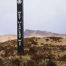
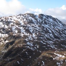
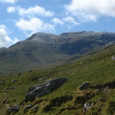
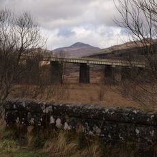
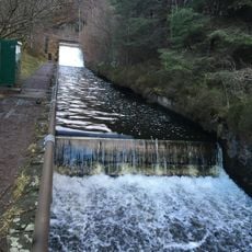
The main route goes up the northern ridge passing through Twistin Hill, with parking available at a layby on the A82 in Glen Falloch. Plan for exposed conditions at height, as weather on the ridge demands extra attention and preparation.
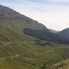
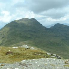
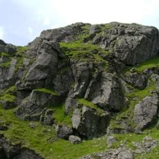
Small caves appear along Twistin Hill near the path, something many walkers overlook as they pass by. A deep cleft cuts through the ridge, creating an unusual geological formation that shapes the character of this route.
The community of curious travelers
AroundUs brings together thousands of curated places, local tips, and hidden gems, enriched daily by 60,000 contributors worldwide.