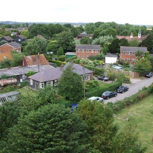
Aston Clinton, village in the United Kingdom
Location: Buckinghamshire
Shares border with: Wingrave
GPS coordinates: 51.79900,-0.72100
Latest update: March 7, 2025 20:02

Halton House
2 km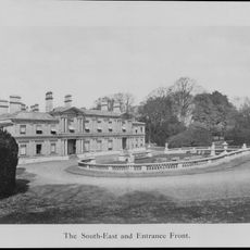
Aston Clinton House
559 m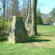
Wendover Woods
3.1 km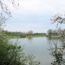
Weston Turville Reservoir
3.1 km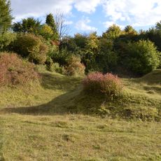
Aston Clinton Ragpits
1.2 km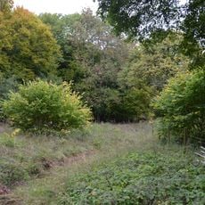
Dancersend
3 km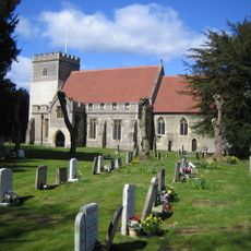
St Michael and All Angels Church, Aston Clinton
364 m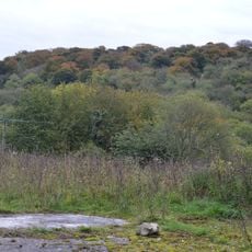
Dancersend Waterworks
3.7 km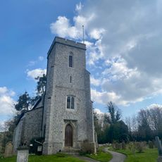
Church of St Michael and All Angels
2 km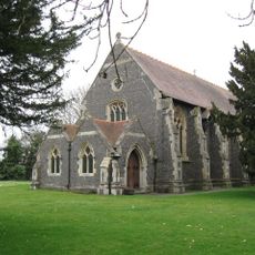
Church of All Saints (Church of England)
4.1 km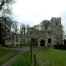
Church of St Mary the Virgin, Drayton Beauchamp
1.9 km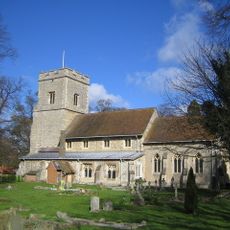
Church of St Mary the Virgin, Weston Turville
2.9 km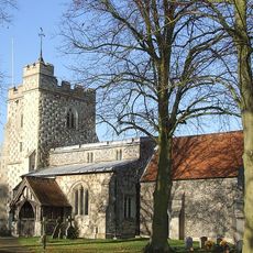
Church of St Mary (Church of England)
3 km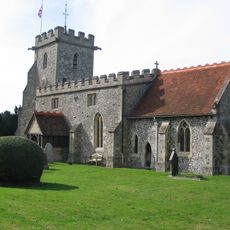
Church of All Saints
718 m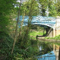
Bridge Over Canal In Grounds Of Halton House
1.9 km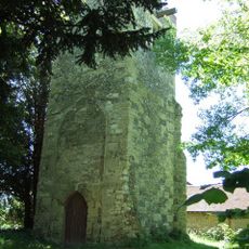
Tower of the Old Church of All Saints
3.9 km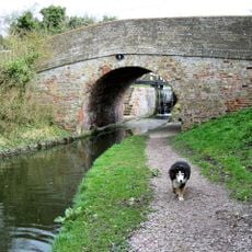
Grand Union Canal Aylesbury Arm Bridge Number 3 (Wilstone Bridge) And Lock Number 8 Adjoining On East
3.3 km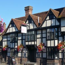
Red Lion Hotel
4.3 km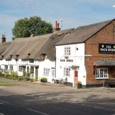
The Pack Horse Public House
4.1 km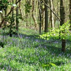
Dancersend Nature Reserve
3 km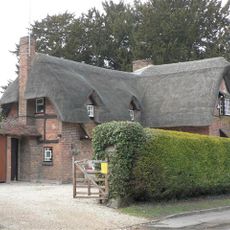
Yew Tree Cottage
642 m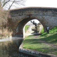
Canal Bridge
2.2 km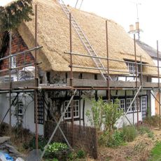
Old Church Cottage
3.9 km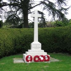
Buckland War Memorial
741 m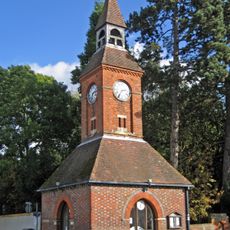
Wendover Clock Tower
4.2 km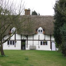
The Old Dukes Head
810 m
Puttenham Bottom Lock No 11
2.2 km
Boddington Camp: a slight univallate hillfort on the summit of Boddington Hill
3.9 kmReviews
Visited this place? Tap the stars to rate it and share your experience / photos with the community! Try now! You can cancel it anytime.
Discover hidden gems everywhere you go!
From secret cafés to breathtaking viewpoints, skip the crowded tourist spots and find places that match your style. Our app makes it easy with voice search, smart filtering, route optimization, and insider tips from travelers worldwide. Download now for the complete mobile experience.

A unique approach to discovering new places❞
— Le Figaro
All the places worth exploring❞
— France Info
A tailor-made excursion in just a few clicks❞
— 20 Minutes
