
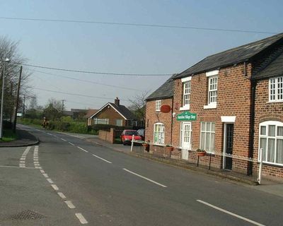
Antrobus, village and civil parish in Cheshire, United Kingdom
Location: Cheshire West and Chester
Shares border with: Great Budworth, High Legh, Comberbach, Appleton, Aston by Budworth, Whitley
GPS coordinates: 53.31670,-2.53333
Latest update: April 4, 2025 07:01

Arley Hall
3.1 km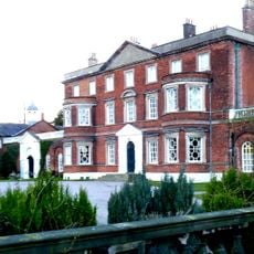
Belmont Hall
2 km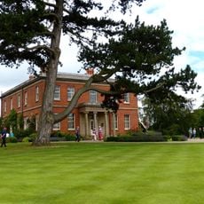
Cogshall Hall
2.6 km
St Mary's Chapel, Arley
3.1 km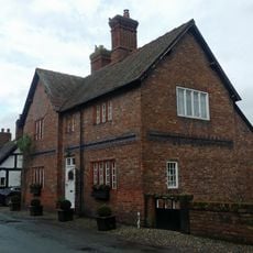
42, Church Street
3.1 km
Frandley Quaker Meeting House and Burial Ground Wall
1.3 km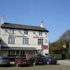
Cock O'Budworth
2.5 km
The Partridge
3.3 km
Sundial to south forecourt at Arley Hall
3.1 km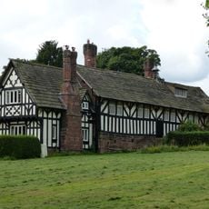
Arley Green School and Arley Green Lodge
3.6 km
Cross Cottages
3.6 km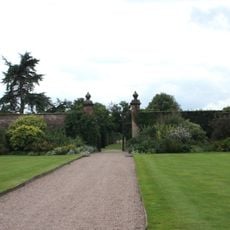
Western walled garden at Arley Hall
2.9 km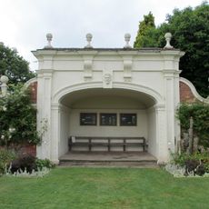
Garden seat to south west of Arley Hall
2.9 km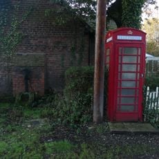
K6 Telephone Kiosk
2.6 km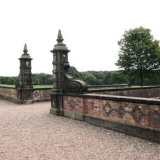
Forecourt walls and gate piers before at Arley Hall (south front)
3.1 km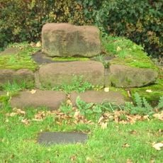
Appleton Cross (base)
3.6 km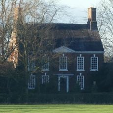
Crowley Lodge
1.6 km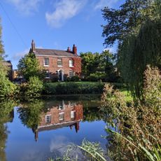
Willow Bank Farmhouse
2.6 km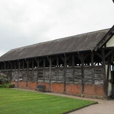
Cruck Barn approx. 100 yards to west of Arley Hall
3 km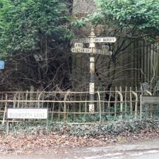
Guidepost at northern corner of junction with Budworth Lane
3.1 km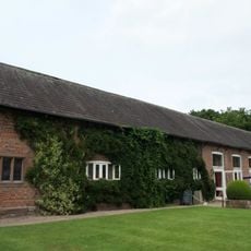
Tudor Barn approx. 100 yards to west of Arley Hall
3 km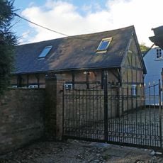
Box Hedge Hall Barn
2.7 km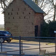
Stable At Wallspit
3.3 km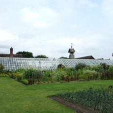
Forcing Wall and Green house in eastern walled garden at Arley Hall
3 km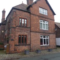
Providence House
3.1 km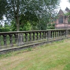
Balustrade before east front of Arley Hall
3.2 km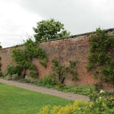
Eastern walled garden at Arley Hall
3 km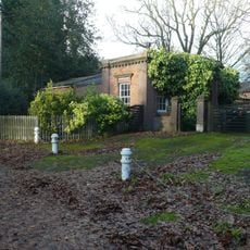
Main Lodge to Belmont Hall
2.4 kmVisited this place? Tap the stars to rate it and share your experience / photos with the community! Try now! You can cancel it anytime.
Discover hidden gems everywhere you go!
From secret cafés to breathtaking viewpoints, skip the crowded tourist spots and find places that match your style. Our app makes it easy with voice search, smart filtering, route optimization, and insider tips from travelers worldwide. Download now for the complete mobile experience.

A unique approach to discovering new places❞
— Le Figaro
All the places worth exploring❞
— France Info
A tailor-made excursion in just a few clicks❞
— 20 Minutes