Cadbury Castle, Bronze Age hillfort in Somerset, England
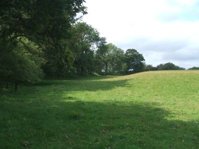
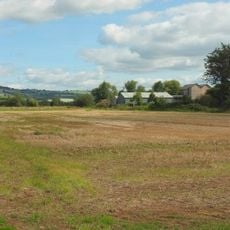
Cadbury Castle is a Bronze Age hillfort in Somerset with four massive ramparts and ditches surrounding a central plateau at 153 meters elevation. The site covers about 8 hectares and can be entered from three separate points at the north-east, east, and south-west.
People first settled here during the Neolithic period, and the site became a major fortified settlement in the Bronze Age. The fort remained in use through the Iron Age and into post-Roman times, showing a long history of continuous occupation.
In the 16th century, scholar John Leland connected this site to stories of King Arthur and thought it might be Camelot. This literary link still shapes how people today see the place and its role in local legend.
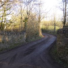
The hillside is quite steep and walking over the ramparts requires some climbing, especially if you want to explore all the levels. Wear sturdy shoes and allow time to walk around, as the ground is uneven but the views from the top are worth the effort.
An old land bridge called King Arthur's Hunting Track once connected this site to nearby Glastonbury Tor. The path is now underwater, but its route is still visible in the landscape and marks the ancient link between the two places.
Location: Cadbury
GPS coordinates: 50.83675,-3.54460
Latest update: December 12, 2025 12:05
Bickleigh Castle
2.8 km
Devon Railway Centre
3.4 km
Parish Church of St Mary the Virgin, Silverton
5 km
Church of St Mary the Virgin
4 km
Church of St Bartholomew
2.6 km
Church of St Mary
3.5 km
Chapel of St John the Baptist, Nether Exe
5.7 km
Church of St Matthew
4.7 km
Church of St Michael and All Angels
414 m
Church of St Thomas of Canterbury
3.3 km
Thorverton Arms
3.4 km
Half Moon Inn
4.4 km
Thorverton Bridge
4.3 km
Bickleigh Bridge
3.3 km
Trout Inn And Cobweb
3.4 km
Fursdon House
1 km
Poole Barton Including Adjoining Wall To North
4.7 km
Crossways
3.4 km
The Old Almshouses
4.3 km
Berry House
3.4 km
Rose Cottage
3.3 km
Lower Ball
3.3 km
Standing cross 6m south of St Mary's Church
5 km
Thorverton Mill
4.1 km
Milestone, 60m S of Heazille House and quarter mile N of Rewe
6.2 km
Upcott Barton Farmhouse Including Adjoining Front Garden Walls And Gate-piers To North-west And South-west
5.6 km
Milestone, 50m S of Shute Cross
5.8 km
Milestone, 150m N of entrance to Efford Barns
4.5 kmVisited this place? Tap the stars to rate it and share your experience / photos with the community! Try now! You can cancel it anytime.
Discover hidden gems everywhere you go!
From secret cafés to breathtaking viewpoints, skip the crowded tourist spots and find places that match your style. Our app makes it easy with voice search, smart filtering, route optimization, and insider tips from travelers worldwide. Download now for the complete mobile experience.
A unique approach to discovering new places❞
— Le Figaro
All the places worth exploring❞
— France Info
A tailor-made excursion in just a few clicks❞
— 20 Minutes