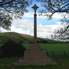
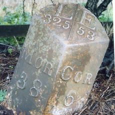
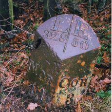
Housedon Hill, Mountain summit in Northumberland, England.
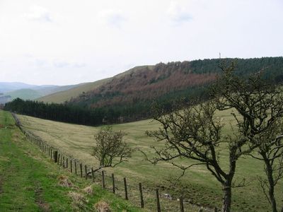
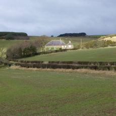
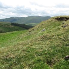
Housedon Hill is a mountain summit in Northumberland near the Scottish border, standing at 266 meters high. The peak sits in a landscape of mixed forestry and open ground, with established walking routes leading to the top.
Access to the hill was restricted before 2000, when new legislation opened up parts of the land for public walking. This change allowed visitors to explore the summit using formal pathways that had previously been unavailable.
The hill's classification as both a Marilyn and a Clem reflects traditional British hill-walking categories based on relative height measurements and geographical prominence.
The route typically starts from Housedonhaugh on the southwestern side, where forest trails lead toward the top. Wear proper footwear as the ground can be uneven and muddy, especially during wetter weather.
The summit ranks among England's northernmost mountain peaks, sitting just kilometers from the Scottish border. This location makes it popular with walkers interested in exploring the borderland area between two nations.
Location: Northumberland
Elevation above the sea: 266 m
GPS coordinates: 55.59016,-2.15641
Latest update: December 14, 2025 14:44
Coupland Castle
3.8 km
Heatherslaw Light Railway
5.9 km
Pallinsburn House
6.1 km
Hethpool House
4.6 km
Church of St Gregory the Great
2.9 km
Church of St Paul
4.7 km
Langham Bridge
2.8 km
Primitive Methodist Chapel
3.3 km
Lanton Memorial
2.2 km
Maelmin Henge
3.8 km
Parson's Tower
6.1 km
Kirknewton War Memorial
3 km
Milepost Circa 200 Yards North Of Ewart Park West Lodge
4.7 km
Westnewton Bridge
2.6 km
West Lodge And Gateway To Ford Castle
5.9 km
Milepost Circa 3/4 Mile South Of Millfield
3.9 km
Milepost Circa 100 Yards North Of Hay Farm Road End
6.1 km
Carham War Memorial
6.1 km
Flodden Memorial
4.5 km
Milepost Circa 200 Yards West Of Mount Pleasant
4.5 km
Milepost Beside Ford Castle West Lodge
5.9 km
Bowmont House
1.3 km
Milepost By The Blue Bell
5.4 km
Milepost Circa 50 Yards North Of Junction With B6352
4 km
Gates, Gatepiers And Steps Circa 50 Yards South Of Church Of St Michael
6.1 km
Milepost Circa 1/4 Mile South Of Pallinsburn
5.6 km
RAF Milfield WWII Memorial
3.9 km
Ring Chesters defended settlement
5.4 kmVisited this place? Tap the stars to rate it and share your experience / photos with the community! Try now! You can cancel it anytime.
Discover hidden gems everywhere you go!
From secret cafés to breathtaking viewpoints, skip the crowded tourist spots and find places that match your style. Our app makes it easy with voice search, smart filtering, route optimization, and insider tips from travelers worldwide. Download now for the complete mobile experience.
A unique approach to discovering new places❞
— Le Figaro
All the places worth exploring❞
— France Info
A tailor-made excursion in just a few clicks❞
— 20 Minutes