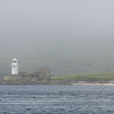
Huxter Fort, Iron Age fort in Nesting, United Kingdom.
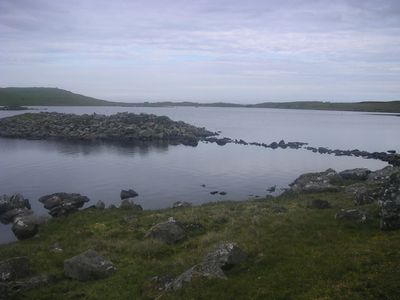
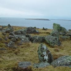
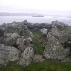
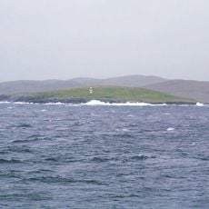
Huxter Fort is a fortification on an islet in Loch of Huxter, connected to the mainland by a stone causeway. The structure consists of a ring wall surrounding the islet and a two-room blockhouse that served defensive purposes.
The fortification dates to around 300 BCE and represents defensive construction techniques of that era. Its design reflects the methods used to protect settlements during the Iron Age.
The fort shows architectural links with similar stone fortifications found in western Ireland, indicating cultural exchanges across the region during ancient times. These connections help explain how building styles spread across distant areas.
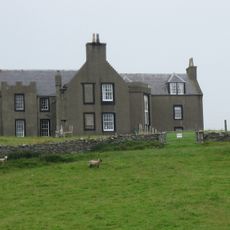
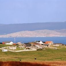
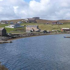
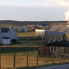
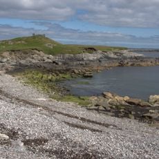
The fort is accessible on foot via the stone causeway from the nearby township of Huxter with straightforward access. Visitors should be prepared for changing weather conditions and wear appropriate footwear.
The entrance passage narrows as it moves inward, starting wider at the opening and becoming tighter toward the interior. This design feature suggests careful planning of the fort's defenses.
Location: Shetland Islands
Location: Nesting
Inception: 3 century BCE
GPS coordinates: 60.33821,-0.98994
Latest update: December 14, 2025 16:44
Lunna House
10.2 km
Old Haa Museum
17.9 km
Standing Stones of Yoxie
4.3 km
Symbister House
1.6 km
Weisdale Mill
18.6 km
Whalsay Parish Church
3.5 km
Pier House Museum
2 km
Quina Scord,chambered cairn 400m NW of Gillaburn
18.6 km
Ward of Symbister Ness Chambered Cairn
2.5 km
Bound Skerry Lighthouse
17.3 km
St Ola's Church and burial-ground
19.2 km
Skeo, Symbister, Whalsay
2 km
Skellister Standing Stone
11.7 km
St Olaf's Church
15.4 km
Lunna Kirk
10.1 km
Firths Voe Lighthouse
16.5 km
Lunna Holm lighthouse
13.3 km
Symbister Ness Lighthouse
2.7 km
Little Skerry
12.1 km
Hoo Stack Lighthouse
11.3 km
St Colman's Episcopal Church
18.2 km
Wether Holm Lighthouse
4.2 km
Weisdale, Parish Church
18.9 km
Burra Voe, broch 70m SSE of Wester Ayre
17.7 km
Suther Ness Lighthouse
3.5 km
Yell, Old Hall Of Brough, Including Walls
17.9 km
Hawks Ness,broch at Corbie Geo
16.3 km
Designed landscape at Lunna House
10.1 kmVisited this place? Tap the stars to rate it and share your experience / photos with the community! Try now! You can cancel it anytime.
Discover hidden gems everywhere you go!
From secret cafés to breathtaking viewpoints, skip the crowded tourist spots and find places that match your style. Our app makes it easy with voice search, smart filtering, route optimization, and insider tips from travelers worldwide. Download now for the complete mobile experience.
A unique approach to discovering new places❞
— Le Figaro
All the places worth exploring❞
— France Info
A tailor-made excursion in just a few clicks❞
— 20 Minutes