
Leekfrith, civil parish in Staffordshire Moorlands, Staffordshire, England
Location: Staffordshire Moorlands
Shares border with: Macclesfield Forest and Wildboarclough
GPS coordinates: 53.14720,-2.01694
Latest update: March 25, 2025 06:46
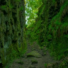
Lud's Church
4.5 km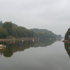
Rudyard Lake
4.8 km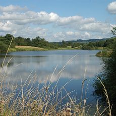
Tittesworth Reservoir
694 m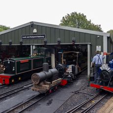
Rudyard Lake Steam Railway
4.6 km
Dieulacres Abbey
3.3 km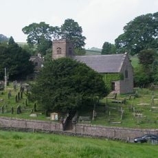
St Michael's Church, Wincle
5.8 km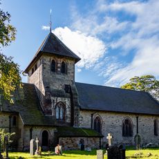
Church of St Matthew
284 m
Sainsbury's
4.2 km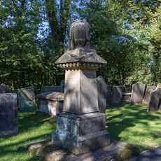
Condlyff Memorial approximately 3 metres south of Church of St Matthew
302 m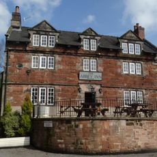
Abbey Inn
3.5 km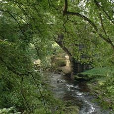
Dane Bridge
4.7 km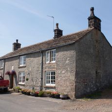
Eagle And Child
5.2 km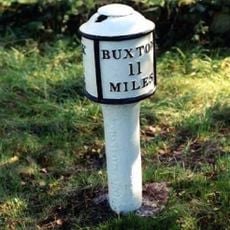
Milepost at NGR SJ 551 577
3.6 km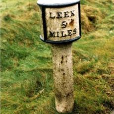
Mile Post Leek 5 Miles
4.4 km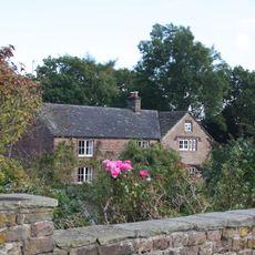
White Lee Farmhouse
4.8 km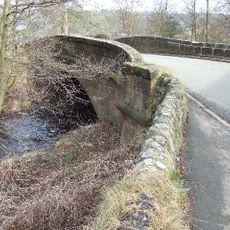
Broads Bridge
4 km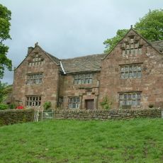
Windygates Hall
1.6 km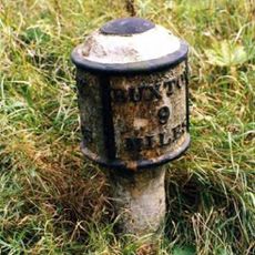
Milepost Near Upper Hulme (Ngr Sk0130760681)
2.4 km
Milestone, S of Ryecroft Gate
5 km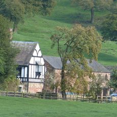
Dieu-La-Cres Abbey Farmhouse
3.4 km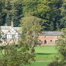
West stable range at Dieu-La-Cres Abbey Farm
3.4 km
240, Abbey Green Road
3.6 km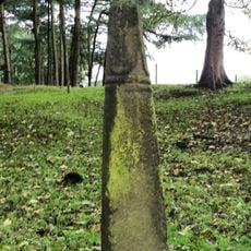
Cross Approximately 350 Metres North West Of Hall
4.2 km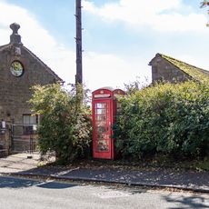
K6 Telephone Kiosk
348 m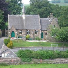
Wincle Church Of England Aided Primary School And Attached Schoolmaster's House
5.8 km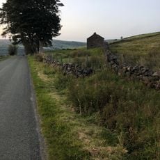
Sniddles (Map Ref. 007-657)
4.9 km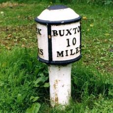
Milepost Leek 2 Miles
2.5 km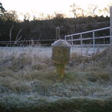
Milepost, near Upper Hulme
2.4 kmReviews
Visited this place? Tap the stars to rate it and share your experience / photos with the community! Try now! You can cancel it anytime.
Discover hidden gems everywhere you go!
From secret cafés to breathtaking viewpoints, skip the crowded tourist spots and find places that match your style. Our app makes it easy with voice search, smart filtering, route optimization, and insider tips from travelers worldwide. Download now for the complete mobile experience.

A unique approach to discovering new places❞
— Le Figaro
All the places worth exploring❞
— France Info
A tailor-made excursion in just a few clicks❞
— 20 Minutes