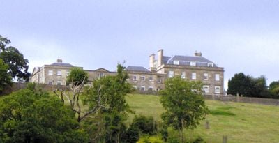
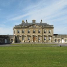
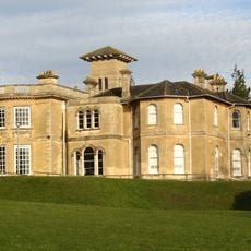
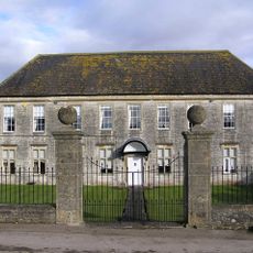
Kelston Park, Grade II* listed country house in Kelston, England
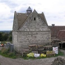
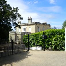
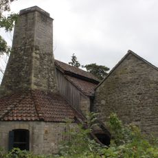
Kelston Park is a three-story stone mansion with a slate roof, set within 75 hectares of parkland and ornamental gardens. The property features multiple outbuildings and a network of walking paths that wind through the landscaped grounds.
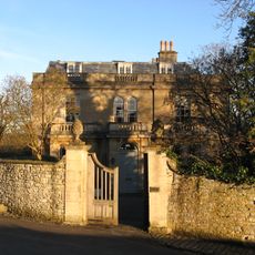
The current house was built in the 1760s by architect John Wood the Younger, replacing an earlier Tudor mansion constructed between 1567 and 1574. This rebuilding established the estate as a Georgian country house that would later receive additional alterations.
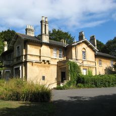
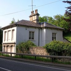
The house blends architectural styles from different eras, showing Georgian principles alongside Victorian additions like the 1857 Italianate lodge. Visitors can observe how each period left its mark on the building during a walk through the rooms.
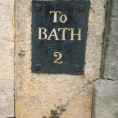
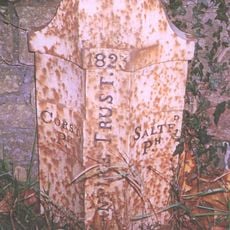
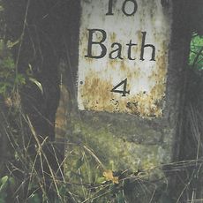
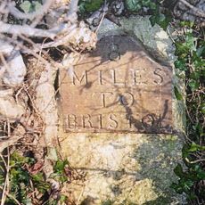
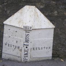
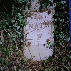
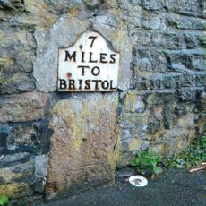
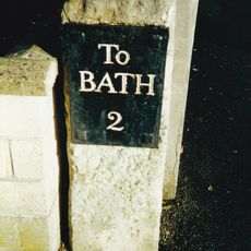
The property sits about 3 miles from Bath and connects to the Bristol to Bath Cycleway, making it accessible by bicycle or car. Visitors should wear good footwear since the grounds cover large areas and include various terrain.
The parkland was designed by landscape architect Lancelot Brown in 1767 with an unusual arrangement that created a direct driveway from the mansion to the public highway. This forward-thinking layout was remarkably rare for its time.
Location: Kelston
GPS coordinates: 51.39338,-2.42888
Latest update: December 10, 2025 20:03
Fairfield House
2.1 km
Newton Park
2.1 km
Church of the Holy Trinity, Newton St Loe
1.3 km
Newton St Loe SSSI
1.3 km
The Old Crown Inn
1.2 km
Church of All Saints
1.1 km
Church of St Nicholas
861 m
Dovecote, To South West Of St Nicholas' Church
865 m
New Bridge
1.5 km
Penn Hill House
1.9 km
Milestone outside No 2 Fairfield
2 km
Milepost At National Grid Reference St 6977 6815
2.1 km
Boundary Post At Ngr St 6967 6527
1 km
Newbridge House
1.8 km
The Turnpike
1.4 km
The Old Rectory And Garden Walls And Gatepiers To The West
1.3 km
Twerton Wood Tunnel West Portal
1.7 km
Boundary Marker At St 6914 6621
1.1 km
Milestone At National Grid Reference St 6924 6520
1.4 km
Milestone At National Grid Reference St 6973 6579
617 m
Boundary Post At National Grid Reference St 7106 6637
846 m
Milestone At National Grid Reference St 7085 6638
655 m
Milestone, Bath Road, nr top of hill going into Saltford from Bath
1.8 km
Newbridge Railway Bridge
1.7 km
Manor Farmhouse
1.3 km
Milestone, Newbridge, by No. 200, Upper Bristol Road
2.1 km
Milestone, eastbound carriageway, between Globe Inn, Corston and jct with A36
766 m
Saltford Brass Mill
1.8 kmVisited this place? Tap the stars to rate it and share your experience / photos with the community! Try now! You can cancel it anytime.
Discover hidden gems everywhere you go!
From secret cafés to breathtaking viewpoints, skip the crowded tourist spots and find places that match your style. Our app makes it easy with voice search, smart filtering, route optimization, and insider tips from travelers worldwide. Download now for the complete mobile experience.
A unique approach to discovering new places❞
— Le Figaro
All the places worth exploring❞
— France Info
A tailor-made excursion in just a few clicks❞
— 20 Minutes