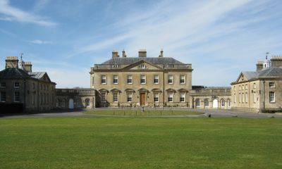
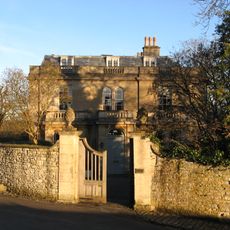
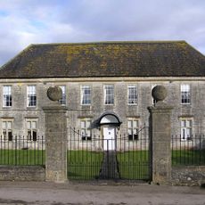
Newton Park, Grade I listed country house in Newton St Loe, England.
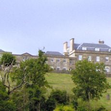
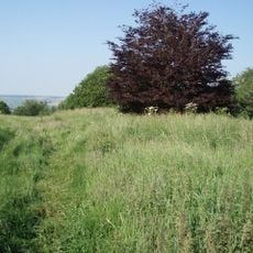
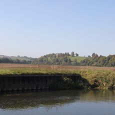
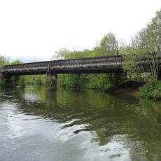
Newton Park is an 18th-century country house that now serves as administrative offices for Bath Spa University. The estate encompasses extensive landscaped gardens with two large fish ponds and terraced areas created by weirs along Corston Brook.
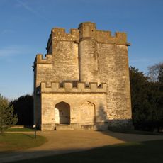
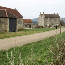
The house was built between 1762 and 1765 by architect Stiff Leadbetter under commission from Joseph Langton, whose ancestor represented Bath in Parliament. A tower had occupied this site since the 14th century, marking the estate's older foundations.
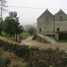
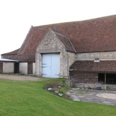
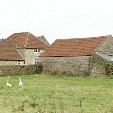
The estate brings together elements from different periods: a 14th-century tower stands alongside Elizabethan farm buildings. The grounds were shaped by Capability Brown and continue to define the property's character.
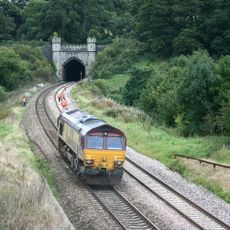
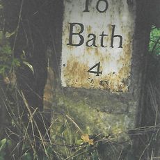
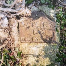
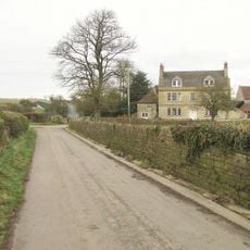
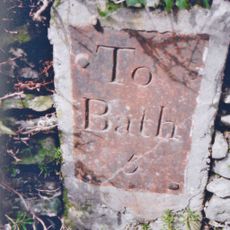
The estate is located about 4 miles (6 kilometers) west of Bath and is now an office building for the university. The house itself is generally not open to the public, but visitors can view the gardens and grounds from outside and around the perimeter.
During World War I, the house was converted into a Red Cross hospital that specifically treated Australian and New Zealand soldiers. This wartime medical role is often overlooked in the property's story.
Location: Newton St Loe
GPS coordinates: 51.37566,-2.43834
Latest update: December 9, 2025 18:48
Alfred Jewel
198 m
Kelston Park
2.1 km
Newton St Loe Castle
260 m
Stantonbury Camp
2.4 km
Church of the Holy Trinity, Newton St Loe
896 m
Church of St Peter, Englishcombe
2.4 km
Newton St Loe SSSI
2.5 km
Church of St Lawrence, Stanton Prior
2.3 km
Priston Mill And Attached Pond, Dam And Walls
2.6 km
Church of All Saints
1.1 km
New Bridge
2.6 km
The Turnpike
2.4 km
Boundary Post At Ngr St 6967 6527
1.1 km
Tithe Barn Attached To South End Of Rectory Farmhouse
2.5 km
The Old Rectory And Garden Walls And Gatepiers To The West
948 m
Boundary Marker At St 6914 6621
2.1 km
Twerton Wood Tunnel West Portal
2.5 km
Milestone At National Grid Reference St 6924 6520
1.1 km
Barn And Attached Farm Buildings About 30 Metres South East Of Poplar Farm
2 km
Milestone At National Grid Reference St 6973 6579
1.6 km
Milestone At National Grid Reference St 7085 6638
2.6 km
Boundary Post At National Grid Reference St 7106 6637
2.7 km
Park Farmhouse
829 m
Newbridge Railway Bridge
2.6 km
Poplar Farmhouse
2.1 km
Manor Farmhouse
1 km
Milestone, eastbound carriageway, between Globe Inn, Corston and jct with A36
1.7 km
Milestone, E of Stantonbury House and Wheatsheaf PH, W of Corston
1.9 kmVisited this place? Tap the stars to rate it and share your experience / photos with the community! Try now! You can cancel it anytime.
Discover hidden gems everywhere you go!
From secret cafés to breathtaking viewpoints, skip the crowded tourist spots and find places that match your style. Our app makes it easy with voice search, smart filtering, route optimization, and insider tips from travelers worldwide. Download now for the complete mobile experience.
A unique approach to discovering new places❞
— Le Figaro
All the places worth exploring❞
— France Info
A tailor-made excursion in just a few clicks❞
— 20 Minutes