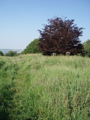
Stantonbury Camp, Iron Age hill fort in Marksbury, England
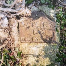
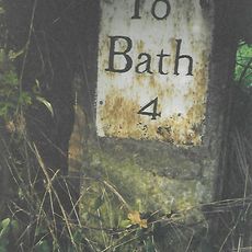
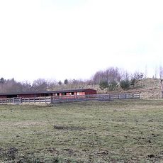
Stantonbury Camp is a fortified settlement positioned on an isolated limestone hilltop near the A39 road in Somerset. The site features defensive earthworks arranged around the summit that create a raised, enclosed area for protection and habitation.
The site was built during the transition from the Late Bronze Age to the Early Iron Age, when local tribal groups began constructing permanent defensive settlements. This period marked a shift toward more organized territorial control and stronger fortifications.
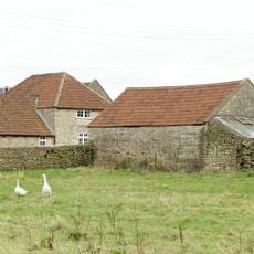
Archaeological artifacts such as iron sickles and pruning hooks reveal that farming was central to life here in ancient times. These tools offer insight into the daily work and survival strategies of the people who inhabited this settlement.
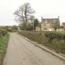
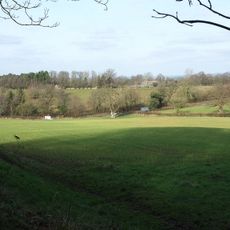
The hillfort can be visited year-round and provides views across the surrounding countryside from its elevated position. Wear sturdy footwear as the slopes can be steep and ground conditions vary depending on the season and recent weather.
The fort sits along the path of the Wansdyke, a major earthwork that extends across considerable distances and belonged to multiple historical periods. This placement suggests the area held strategic value across many centuries of settlement and conflict.
The community of curious travelers
AroundUs brings together thousands of curated places, local tips, and hidden gems, enriched daily by 60,000 contributors worldwide.