Leyton Marshes, Natural wetland in Waltham Forest, England
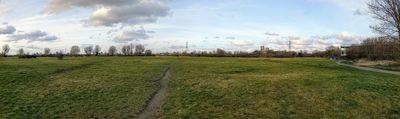
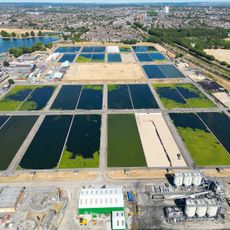
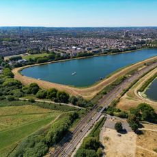
Leyton Marshes is a natural wetland covering about 91 acres in northeast London along the River Lea, featuring reed swamps, sedge marshes, and patches of willow scrub. The site forms part of the Lee Valley Park network and connects to Walthamstow Marshes to the south and Tottenham Marshes to the north.
The area functioned as lammas land until the 19th century, allowing local residents to graze livestock after the annual hay harvest. This traditional land use shaped the marshes for centuries before they became a protected natural area.
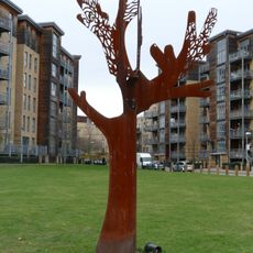
The Split Leaf sculpture by Jon Mills represents a collaboration with local primary school students and demonstrates how art connects the community to this natural space. Walking through the marshes, you can see this installation as a sign of how people engage with and shape their surroundings.
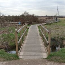
The marshes are accessible through multiple entry points connected to the Lee Valley Park network and walking paths run through different sections of the wetland. Wear sturdy shoes as the ground can be wet and muddy, and plan to spend time quietly observing birds and insects.
The marshes are home to the Essex skipper butterfly and the marsh warbler, two uncommon species found within London's city limits. These creatures depend on the specific conditions of the wetland and attract wildlife enthusiasts from across the city.
The community of curious travelers
AroundUs brings together thousands of curated places, local tips, and hidden gems, enriched daily by 60,000 contributors worldwide.