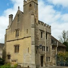
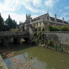
Mesopotamia, River island in University Parks, Oxford, England
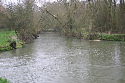
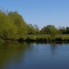
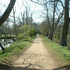
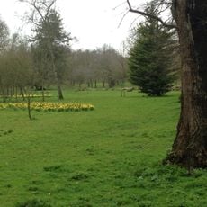
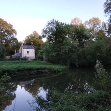
Mesopotamia is a river island situated between two channels of the Cherwell in University Parks, Oxford. A walking path runs through its center, connecting different parts of the park and offering visitors a way to experience the landscape.
Oxford University acquired this site during the expansion of University Parks in the mid-1800s. The walking path was established at that time and continues to shape how people explore the island today.
The name comes from ancient Greek and means 'between the rivers', just like the ancient region between the Tigris and Euphrates. Visitors notice this meaning as they walk across the island, which is indeed surrounded by two channels of the Cherwell.
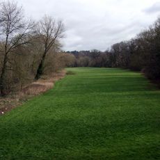
The central walking path provides an easy and safe route across the island and connects different areas of the park. Visitors should wear sturdy shoes and take care in wet weather, as the ground can become particularly muddy.
A watermill once stood at this location and was recorded in the Domesday Book centuries ago, operating until the early 1800s. The mill used one of the river channels to power its machinery, leaving behind traces of an earlier economic use of the island.
Part of: Oxford University Parks
GPS coordinates: 51.75830,-1.24139
Latest update: December 21, 2025 16:05
Headington Hill Hall
792 m
Parson's Pleasure
413 m
Addison's Walk
710 m
St Cross Church
507 m
Holywell Manor, Oxford
472 m
St Clement's Church, Oxford
614 m
Headington Hill Park
694 m
Angel & Greyhound Meadow, Oxford
703 m
Farmington Institute for Christian Studies
775 m
Founders Tower
775 m
Footbridge Over River Cherwell At Parsons Pleasure Punt Rollers
350 m
1, Holywell Street
663 m
Former Morris Garage
673 m
New Marston War Memorial
396 m
St Catherines College, Music Room
417 m
Magdalen College, The Old Grammar Hall
772 m
Kings Mill
303 m
Magdalen College, Chapel, Great Quadrangle
798 m
St Catherines College, Bicycle Store
329 m
St Catherines College, Masters House And Attached Garden Wall To North (up To Bridge) And South
331 m
St Clement's, Oxford War Memorial
660 m
K6 Telephone Kiosk, Jowett Walk
660 m
Stone At The Junction Of Marston Road And The Footpath To Pullens Lane
493 m
New College, Tutors House (To The East Of The Pandy)
720 m
School of Geography
742 m
Manchester College, Boundary Wall And Screen Of Manchester College Fronting Mansfield Road
784 m
Magdalen College, Cloister, Great Quadrangle
763 m
Magdalen College, Boundary Wall Of The Grove
578 mVisited this place? Tap the stars to rate it and share your experience / photos with the community! Try now! You can cancel it anytime.
Discover hidden gems everywhere you go!
From secret cafés to breathtaking viewpoints, skip the crowded tourist spots and find places that match your style. Our app makes it easy with voice search, smart filtering, route optimization, and insider tips from travelers worldwide. Download now for the complete mobile experience.
A unique approach to discovering new places❞
— Le Figaro
All the places worth exploring❞
— France Info
A tailor-made excursion in just a few clicks❞
— 20 Minutes