Pentland Hills, Nature reserve and mountain range in West Lothian and Scottish Borders, Scotland
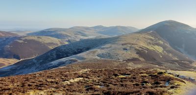
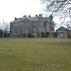
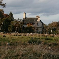
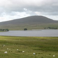
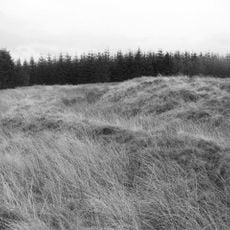
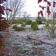
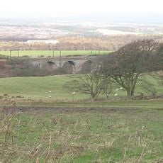
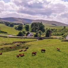
The Pentland Hills form a mountain range made of volcanic rock that sits between West Lothian and the Scottish Borders, covering a substantial area. The terrain includes rolling slopes, open grasslands, heathland, and scattered patches of woodland across the landscape.
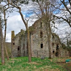
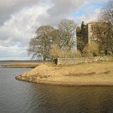
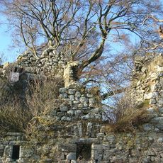
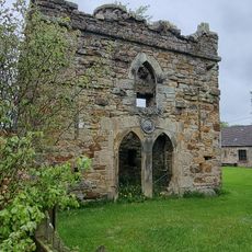
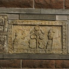
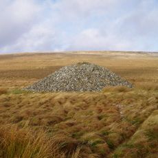
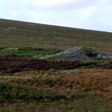
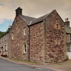
The hills have been home to people since ancient times, with evidence of settlements and fortifications built by early inhabitants. The landscape shaped how different groups in early Scotland used and controlled these elevated areas.
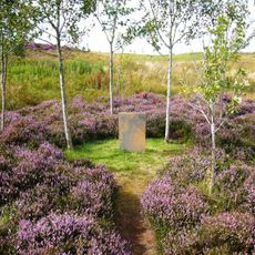
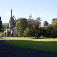
The hills have long served as a place where local people walk, rest, and spend time outdoors, making them central to how residents connect with nature. Many who live nearby visit regularly to escape city life and enjoy open space close to home.
Access is straightforward, with multiple entry points offering parking and trails suited to different fitness levels. Visiting during dry weather is advisable, as paths become slippery when wet, and the exposed terrain offers little shelter from wind and rain.
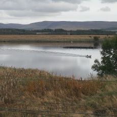
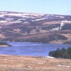
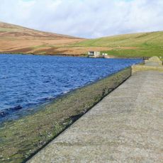
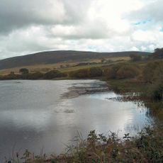
The range holds several reservoirs that were originally built to supply water and now serve as habitats where visiting birds can be observed throughout the year. These man-made lakes have become gathering spots for people interested in watching wildlife and water birds.
Location: West Lothian
Location: Scottish Borders
Elevation above the sea: 579 m
Made from material: volcanic rock
Part of: Scottish Lowlands
Address: Flotterstone EH26 0PP, UK
Phone: +441315292401
Website: http://pentlandhills.org
GPS coordinates: 55.76667,-3.41667
Latest update: December 8, 2025 21:08
Drochil Castle
11.2 km
Little Sparta
7.4 km
Penicuik House
11.9 km
Castle Craig Hospital
9.6 km
Bavelaw Castle
10.8 km
Cairns Castle
7.3 km
Harperrig Reservoir
7.7 km
Cobbinshaw Reservoir
10.5 km
Castle Greg
8.4 km
Baddinsgill Reservoir
2.9 km
Brunstane Castle
10.1 km
Murieston Castle
11.8 km
West Water Reservoir
1.3 km
Penicuik, Penicuik House, Stables
12 km
Crosswood Reservoir
6.6 km
Old Harestanes,stone circle 180m NE of
9.3 km
West Linton, The Loan, Srongarbh
3.5 km
Linhouse Water, Railway Viaduct
11.8 km
Gifford's Stone
4.1 km
West Linton, Main Street, Public Well And Clock Tower
4.2 km
North Muir,Nether Cairn
3.2 km
Romanno Bridge
7.3 km
War Memorial, Main Street, West Linton
4.2 km
North Muir,Upper Cairn
2.6 km
Netherurd Home Farm, Stables
8.8 km
Old Manor House, Main Street, West Linton
4.1 km
Blyth Mill
8.5 km
Threipmuir Reservoir
12 kmVisited this place? Tap the stars to rate it and share your experience / photos with the community! Try now! You can cancel it anytime.
Discover hidden gems everywhere you go!
From secret cafés to breathtaking viewpoints, skip the crowded tourist spots and find places that match your style. Our app makes it easy with voice search, smart filtering, route optimization, and insider tips from travelers worldwide. Download now for the complete mobile experience.
A unique approach to discovering new places❞
— Le Figaro
All the places worth exploring❞
— France Info
A tailor-made excursion in just a few clicks❞
— 20 Minutes