Reading Minster, Church building in Reading, England
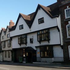
Reading Minster is a church in Reading featuring Gothic architectural details including pointed arches, stone walls, and a tower that rises prominently on Chain Street. The structure displays characteristic Gothic elements with vertical lines and stone construction typical of this architectural style.
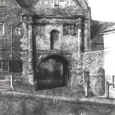
The church was originally established in 1150 and had connections to Reading Abbey, before undergoing later modifications. During repairs in the 1500s, stones from the demolished Abbey were incorporated into the building, linking it to its religious past.
The choir performs during services, maintaining a tradition of sacred music that shapes the character of this place. These performances connect visitors and the local community to a long history of musical worship.
Visitors can come for daily prayer or attend two weekly Eucharistic services held regularly. The church is located on Chain Street and welcomes people who wish to spend time exploring the space.
Stones from the demolished Reading Abbey were built into this church during repairs in the mid-1500s. These recycled materials create a tangible link between two places that both shaped the religious story of the town.
The community of curious travelers
AroundUs brings together thousands of curated places, local tips, and hidden gems, enriched daily by 60,000 contributors worldwide.