Selborne Common, Natural conservation site in Selborne, England
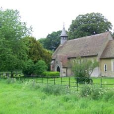
Selborne Common is a protected natural area featuring ancient beechwood forests, chalk-based soils, and grasslands spread across 246 acres. The terrain supports many plant and animal species within its boundaries.
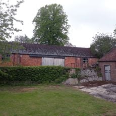
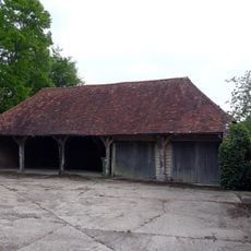
The land was managed during medieval times by Selborne Priory and later passed to Magdalen College, Oxford. The National Trust took over the site in 1932 and has protected it ever since.
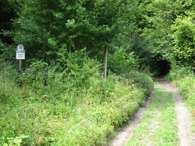
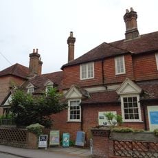
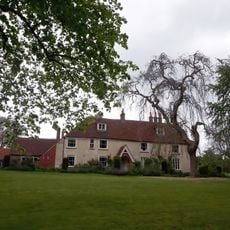
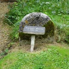
The naturalist Gilbert White conducted his research here and made the place known to the scientific world. Visitors today follow the same paths he once used to study the local living world.
The area has multiple walking paths with varying levels of difficulty. Some routes from Selborne village involve steep climbs, while access points from Newton Valence offer gentler terrain.
The highest point, Selborne Hanger, reaches about 680 feet above sea level and creates varied habitats across the site. This elevation change allows rare orchids and protected wildlife to live here.
Location: Selborne
Website: https://nationaltrust.org.uk/selborne-common
GPS coordinates: 51.10000,-0.95000
Latest update: December 6, 2025 17:45
Hampshire offers a journey through many centuries of British history. You can see Roman walls and ancient amphitheaters, medieval castles and abbeys, as well as houses and fortresses built during the Victorian era. Each place shares part of the local story, from the daily lives of old residents to...
Farringdon Church Of England Primary School And Village Hall
2.8 km
Church of St Mary
526 m
Plestor House
569 m
St Leonard's Church, Hartley Mauditt
2.3 km
Church of All Saints
2.8 km
Church of St Nicholas
3.1 km
Selborne War Memorial
524 m
Church of St Mary
1.6 km
Table Tomb 2 Metres South Of The Church Tower
2.8 km
The Selborne Arms
702 m
Barn House
1.7 km
Newton Valence War Memorial
1.8 km
Angerton
2.8 km
Trimmings
135 m
The Wakes
533 m
Wakes Cottages
590 m
3 Candovers Long Candovers
2.7 km
Cruck Cottage
2.8 km
Fisher's Buildings Fisher's Corner Fisher's Cottage Fisher's Lodge
79 m
Table Tomb 4 Metres South Of The Church Tower
2.8 km
Churchyard Cross 10 Metres South Of The Church
2.8 km
Granary 50 Metres South Of Manor House Farmhouse
2.9 km
Barn 100 Metres South-West Of Manor House Farmhouse
3 km
Cartshed 60 Metres South Of Manor House Farmhouse
2.9 km
Manor House Farmhouse
2.9 km
Gravestone Of Gilbert White North East Of The Vestry
532 m
The Drift
2.4 km
Barn At Long Candovers
2.7 kmVisited this place? Tap the stars to rate it and share your experience / photos with the community! Try now! You can cancel it anytime.
Discover hidden gems everywhere you go!
From secret cafés to breathtaking viewpoints, skip the crowded tourist spots and find places that match your style. Our app makes it easy with voice search, smart filtering, route optimization, and insider tips from travelers worldwide. Download now for the complete mobile experience.
A unique approach to discovering new places❞
— Le Figaro
All the places worth exploring❞
— France Info
A tailor-made excursion in just a few clicks❞
— 20 Minutes