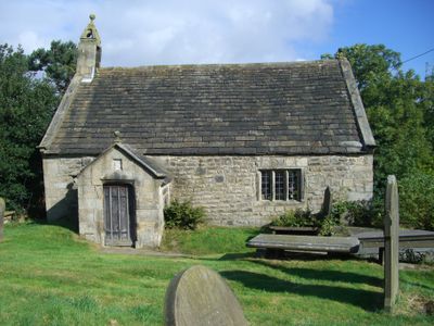
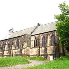
St James' Church, Midhopestones, Anglican church in Midhopestones, Yorkshire, England.
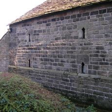
St James' Church is a stone building in Midhopestones with a bell cupola, box pews arranged along the walls, and a minstrels' gallery overhead. The structure reflects 14th-century English church design with its straightforward, purposeful layout and materials.
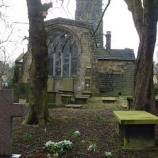
The Barnby family founded this as their private chapel in 1360 and held ownership for centuries. In 1622, financial pressures forced them to sell, after which the building underwent changes reflecting Puritan religious practices.
The carved pulpit embodies Puritan devotion from the 1600s and shows how worshippers of that era understood faith through craftsmanship. Visitors can sense this spiritual tradition today when standing in the simple, ordered interior.
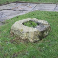
The church sits on Chapel Lane with parking available nearby for those arriving by car. The level entrance allows easy access for visitors of all mobility levels to explore the building and the surrounding landscape.
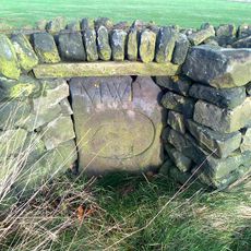
Workers discovered a hidden trap door between the pulpit and altar during 1967 repairs, a curious feature whose original purpose remains unknown. Local people have long speculated about what this doorway might have served in the building's past.
The community of curious travelers
AroundUs brings together thousands of curated places, local tips, and hidden gems, enriched daily by 60,000 contributors worldwide.