Great Polish Map of Scotland, Scale model and tourist attraction in Scottish Borders, United Kingdom.
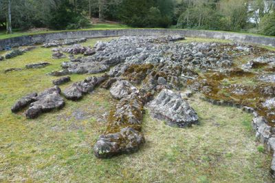
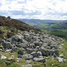
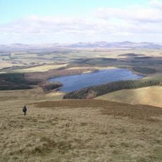
The Great Polish Map of Scotland is a monumental concrete work spanning 50 meters wide and 40 meters long that presents Scotland's landscape through three-dimensional terrain features. The installation displays mountains, valleys, and waterways with geographical precision, allowing visitors to experience the terrain from different viewpoints.
The map was created between 1974 and 1979 under Jan Tomasik's direction, a Polish war veteran who served with the 1st Armored Division during World War II. The project emerged from his vision to connect his country's history with artistic creation, bridging two nations through this geographical artwork.
This outdoor installation represents a connection between Poland and Scotland through collaboration with experts from Jagiellonian University in Krakow led by Kazimierz Trafas. Visitors who come here experience how geography and art can bridge communities and create shared meaning across borders.
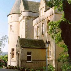
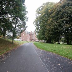
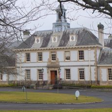
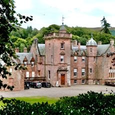
The site is located on the grounds of Barony Castle near the village of Eddleston and occupies about 780 square meters of land. The Northern Isles are not included in this representation, so the map shows only the mainland and southern island groups.
This site is registered as a Category B listed building and stands as the world's largest terrain relief map of its kind. The monument combines artistic design with geographical function, serving as a walkable educational tool that few other places offer.
The community of curious travelers
AroundUs brings together thousands of curated places, local tips, and hidden gems, enriched daily by 60,000 contributors worldwide.