
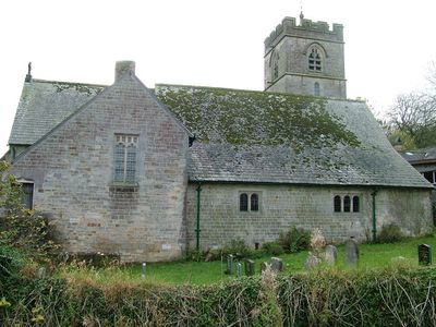
St John's Church, Hutton Roof, grade II listed church in the United kingdom
Location: Hutton Roof
Inception: 1881
Architects: Sharpe, Paley and Austin
Architectural style: Gothic Revival
Website: http://achurchnearyou.com/hutton-roof-st-john-the-divine
GPS coordinates: 54.20310,-2.66170
Latest update: April 28, 2025 23:53
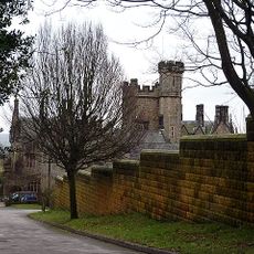
Whittington Hall
3.7 km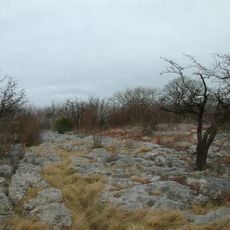
Hutton Roof Crags
1.9 km
St Michael's Church, Whittington
3.9 km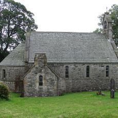
All Saints Church, Lupton
2.1 km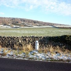
Milepost Approximately 300 Metres North Of Holme Park
4 km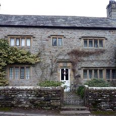
Manor House
4 km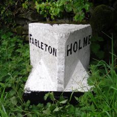
Boundary Stone Approximately 500 Metres South South West Of Townend Farm
4 km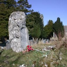
Hutton Roof War Memorial
58 m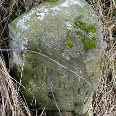
Milestone Approximately 650 Yards North West Of Tearnside Hall
1.8 km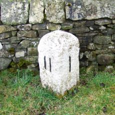
Milestone, Kearstwick, N end of village
3.8 km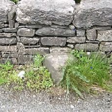
Boundary Stone Approximately 300 Metres South East Of Spout House Farmhouse
3.3 km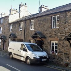
8 And 12, Fairbank
4.1 km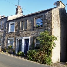
19 And 21, Mitchelgate
4 km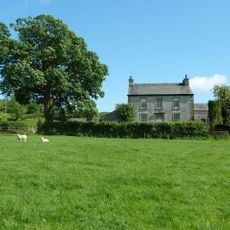
Spout House Farmhouse
3.7 km
Sellet Hall
3.4 km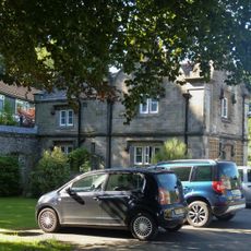
Abbeyfield Lodge
4 km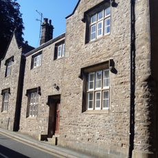
17 And 19, Fairbank
4 km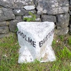
Boundary Stone Between Parishes Of Holme And Burton
4 km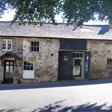
Number 18 And Smithy
4 km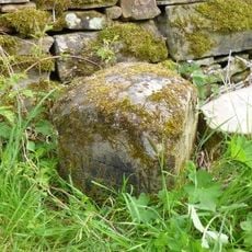
Boundary Stone Between Dalton And Hutton Roof
2.4 km
Milestone Approximately 75 Metres North Of Summerdale House
4 km
Biggins Hall Farmhouse
3.2 km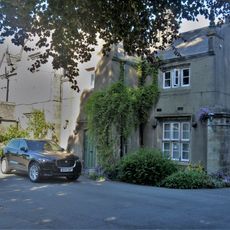
The Gables
4.1 km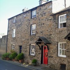
4 And 6, Fairbank
4.1 km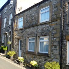
31, Mitchelgate
4 km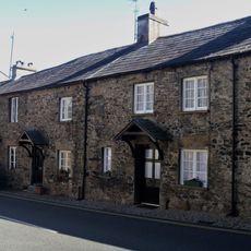
14 And 16, Fairbank
4 km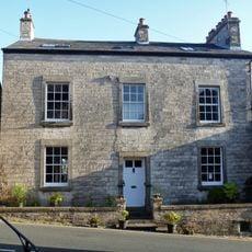
17, Mitchelgate
4.1 km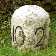
Milestone, between Kearstwick & Old Town
3.9 kmVisited this place? Tap the stars to rate it and share your experience / photos with the community! Try now! You can cancel it anytime.
Discover hidden gems everywhere you go!
From secret cafés to breathtaking viewpoints, skip the crowded tourist spots and find places that match your style. Our app makes it easy with voice search, smart filtering, route optimization, and insider tips from travelers worldwide. Download now for the complete mobile experience.

A unique approach to discovering new places❞
— Le Figaro
All the places worth exploring❞
— France Info
A tailor-made excursion in just a few clicks❞
— 20 Minutes