
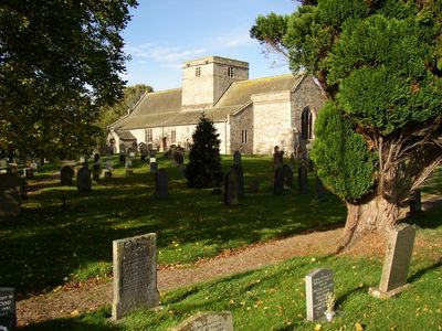
St Michael's Church, Medieval church in Barton and Pooley Bridge, England
St Michael's Church is a stone church in the village with a slate roof and a central tower in the Norman style. The interior is divided by octagonal pillars that support three arcade spans, giving the space its distinctive framework.
The building was founded around 1150 and expanded in the 13th century with a south aisle and arcade system. A north aisle was added later around 1300, completing the layout that remains today.
This building has served as a gathering place for the community throughout the centuries and continues as an active place of worship today. The interior reveals how people have left their marks through furnishings and decorations added over generations.
The church is active and open to visitors, particularly during service times when you can experience the space properly. The churchyard surrounding it contains old monuments that you can walk around and view.
The central Norman tower design sets this church apart from other medieval churches in the Cumbria region, making it architecturally unusual. Few visitors realize this tower is a rare feature that distinguishes it among buildings from the same era.
Location: Barton and Pooley Bridge
Inception: 12 century
Architectural style: English Gothic architecture, Norman architecture
Website: http://bartonpooleymartindale.org.uk/barton
GPS coordinates: 54.62980,-2.79540
Latest update: December 14, 2025 17:03
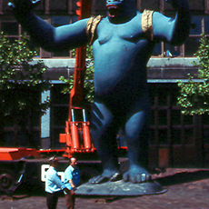
King Kong statue
3.1 km
King Arthur's Round Table
4.1 km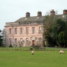
Dalemain
1.2 km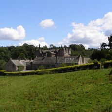
Askham Hall
3.8 km
Mayburgh Henge
3.8 km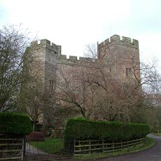
Dacre Castle
2.7 km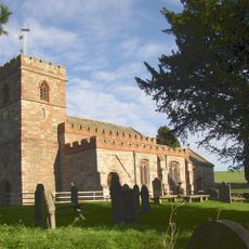
St Andrew's Church, Dacre
2.8 km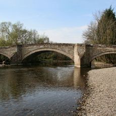
Pooley Bridge
2.6 km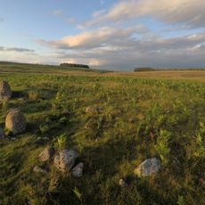
White Raise round cairn, Askham Fell
3.9 km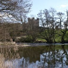
Yanwath Hall
2.7 km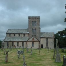
Church of St Michael, Lowther
3.7 km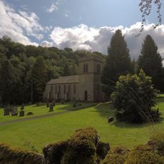
Church of St Peter
4 km
St Paul's Church
2.4 km
Punch Bowl Hotel Public House
3.9 km
Low Gardens Bridge
3.6 km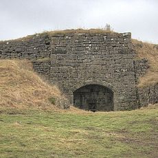
Limekiln Approximately 60 Metres East Of Winder Hall Cottage
1.8 km
The Queens Head Inn
3.7 km
Redhill Limekilns, 120 Metres South East Of Slapestones Roundabout
2.2 km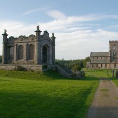
Lowther Mausoleum South West Of Church Of St Michael
3.7 km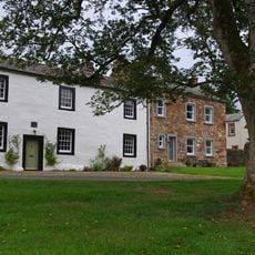
Midtown Farmhouse
3.8 km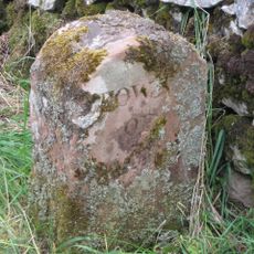
Boundary Stone South East Of Junction Of A66 And Dacre Road
3.7 km
King Arthur's Round Table henge
4.1 km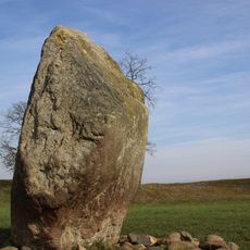
Mayburgh henge
3.8 km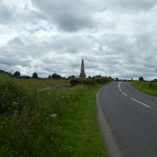
Greystoke Pillar
3.4 km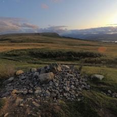
Two round cairns 415m and 420m NNE of The Cockpit, Moor Divock
3.8 km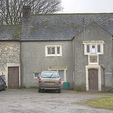
Glebe Farmhouse
146 m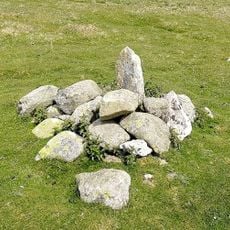
Round cairn on Heughscar Hill
3.2 km
Milestone, Dalemain
957 mVisited this place? Tap the stars to rate it and share your experience / photos with the community! Try now! You can cancel it anytime.
Discover hidden gems everywhere you go!
From secret cafés to breathtaking viewpoints, skip the crowded tourist spots and find places that match your style. Our app makes it easy with voice search, smart filtering, route optimization, and insider tips from travelers worldwide. Download now for the complete mobile experience.

A unique approach to discovering new places❞
— Le Figaro
All the places worth exploring❞
— France Info
A tailor-made excursion in just a few clicks❞
— 20 Minutes