Chirk Aqueduct, Canal aqueduct in Chirk, United Kingdom
Chirk Aqueduct is a cast iron and stone structure that spans the Ceiriog Valley, carrying water through a channel supported by multiple arches. The construction allows boats to travel along the Llangollen Canal at an elevated height above the river below.
The structure was built in the early 1800s as part of a major canal project intended to carry water across a deep valley. A renowned engineer designed it, and a foundry supplied the metal components, making it an important example of technical progress at that time.
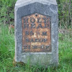
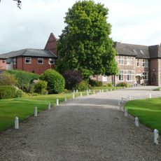
The name comes from the nearby village, marking how engineers once linked distant regions through water routes. Today, visitors walking across experience how communities relied on such passages for trade and connection.
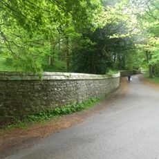
Visitors can walk along the towpath beside the canal and watch boats move through the water channel. The path runs directly across the structure, giving clear views of both sides of the valley.
Just beside it, a railway line crosses the valley on a separate structure running parallel overhead. This rare double-crossing arrangement lets visitors see two transportation routes operating one above the other.
Location: Wrexham County Borough
Location: Shropshire
Architects: Thomas Telford
Elevation above the sea: 74.5 m
GPS coordinates: 52.92760,-3.06173
Latest update: December 8, 2025 19:55
Chirk Castle
2.1 km
Brynkinalt Hall
1.7 km
Chirk Tunnel
475 m
Oak at the Gate of the Dead
2.3 km
Chirk Viaduct
32 m
Chirk War Memorial
631 m
Hand Hotel
636 m
St Mary's Church
589 m
Halton Former Mission Church
3 km
Trevor Mausoleum in churchyard of the Church of St Mary
676 m
Chirk Castle Gates, Screen And Piers
774 m
Chirk
2.4 km
Milestone at NGR SJ 29977 35737
2 km
Ward Monument
580 m
Castle Mill Bridge
2.4 km
Weston Rhyn War Memorial
1.6 km
Chirk Library
1.3 km
Black Park English Methodist Chapel
3.2 km
Milestone At Ngr Sj 2957 3707
833 m
The Mount, with front garden railings and gate
545 m
Whitehouse Bridge
3.2 km
The Kennels
3 km
Lychgate outside Church of St Mary
569 m
Moreton Hall
1.7 km
Wall on the NE side of the driveway to the Stables
2.1 km
Limekilns at NGR SJ 2650 3742
2.2 km
Milestone, Moreton Hall, just N of canal bridge and café
1.9 km
Johnston's Cottage and Farm Buildings of Home Farm
2.3 kmVisited this place? Tap the stars to rate it and share your experience / photos with the community! Try now! You can cancel it anytime.
Discover hidden gems everywhere you go!
From secret cafés to breathtaking viewpoints, skip the crowded tourist spots and find places that match your style. Our app makes it easy with voice search, smart filtering, route optimization, and insider tips from travelers worldwide. Download now for the complete mobile experience.
A unique approach to discovering new places❞
— Le Figaro
All the places worth exploring❞
— France Info
A tailor-made excursion in just a few clicks❞
— 20 Minutes