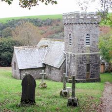
Stripple stones, Stone circle in Blisland, Cornwall, Great Britain
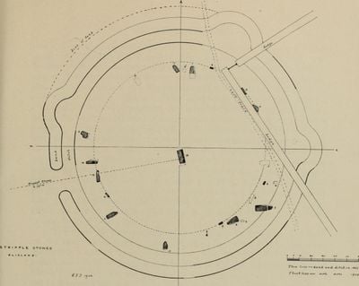
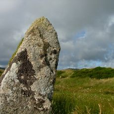
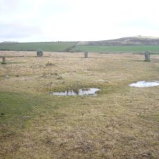
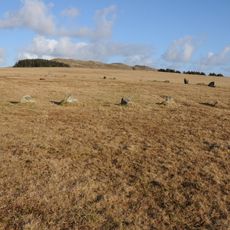
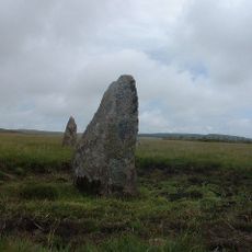
Stripple stones is an archaeological site featuring a stone circle with four granite blocks and a central fallen stone on Bodmin Moor. The enclosure measures roughly 53 meters across and is surrounded by a ditch that once formed the circle's boundary.
Excavations in 1905 revealed burnt stones, flint fragments, bone remains, and charcoal around the site, suggesting ritual or ceremonial use in prehistoric times. The site likely dates to the Bronze Age when stone circles were built across the moorlands.
The circle features three semi-lunar projections pointing northwest, northeast, and east, marking significant astronomical events such as Mayday sunset.
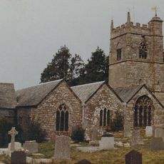
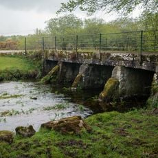
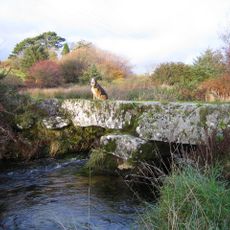
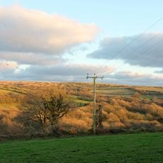
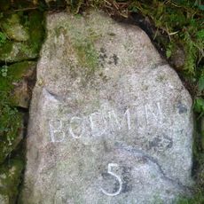
The site sits on the southern slope of Hawk's Tor within Bodmin Moor, roughly 10 kilometers northeast of Bodmin town. Wear sturdy footwear as the moorland terrain is often soft and damp, particularly after rain.
The central fallen stone sits roughly 4.3 meters offset from the circle center toward the southeast, suggesting deliberate placement rather than accident. Four post holes surrounding this stone hint at how wooden structures or astronomical alignments may have been originally arranged.
The community of curious travelers
AroundUs brings together thousands of curated places, local tips, and hidden gems, enriched daily by 60,000 contributors worldwide.